June 2: Chena Hot Springs Resort, AK
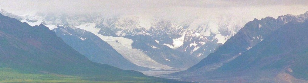
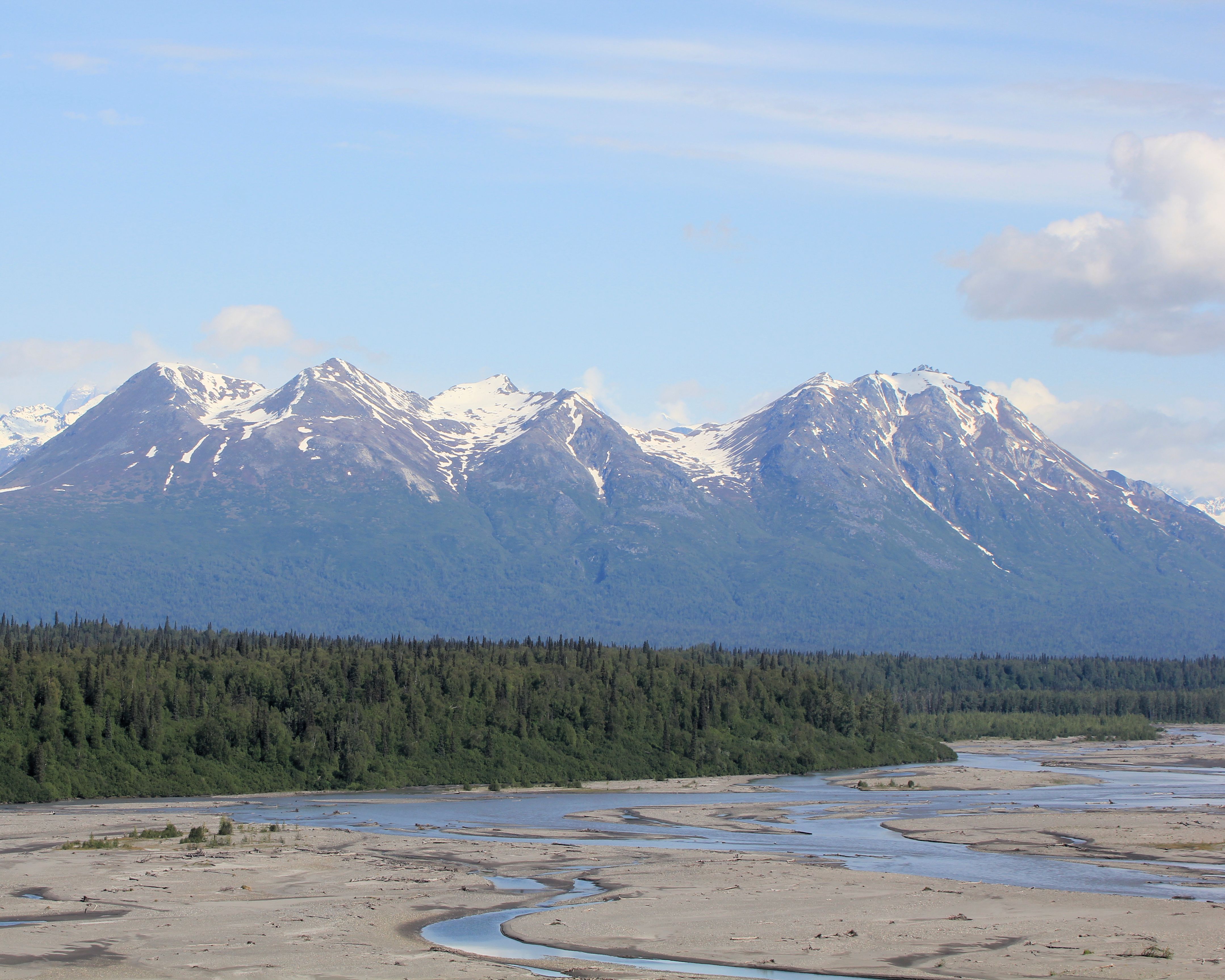
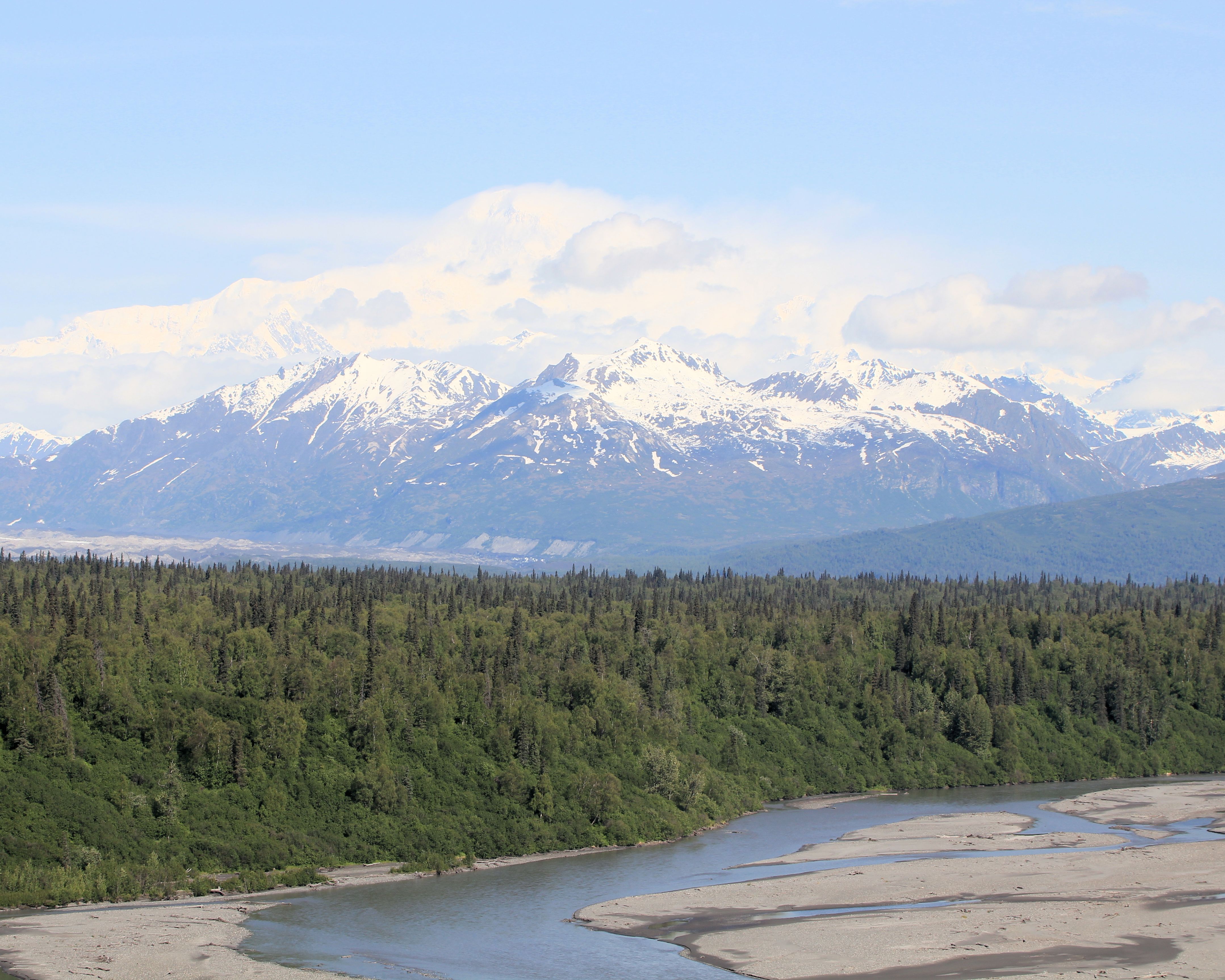
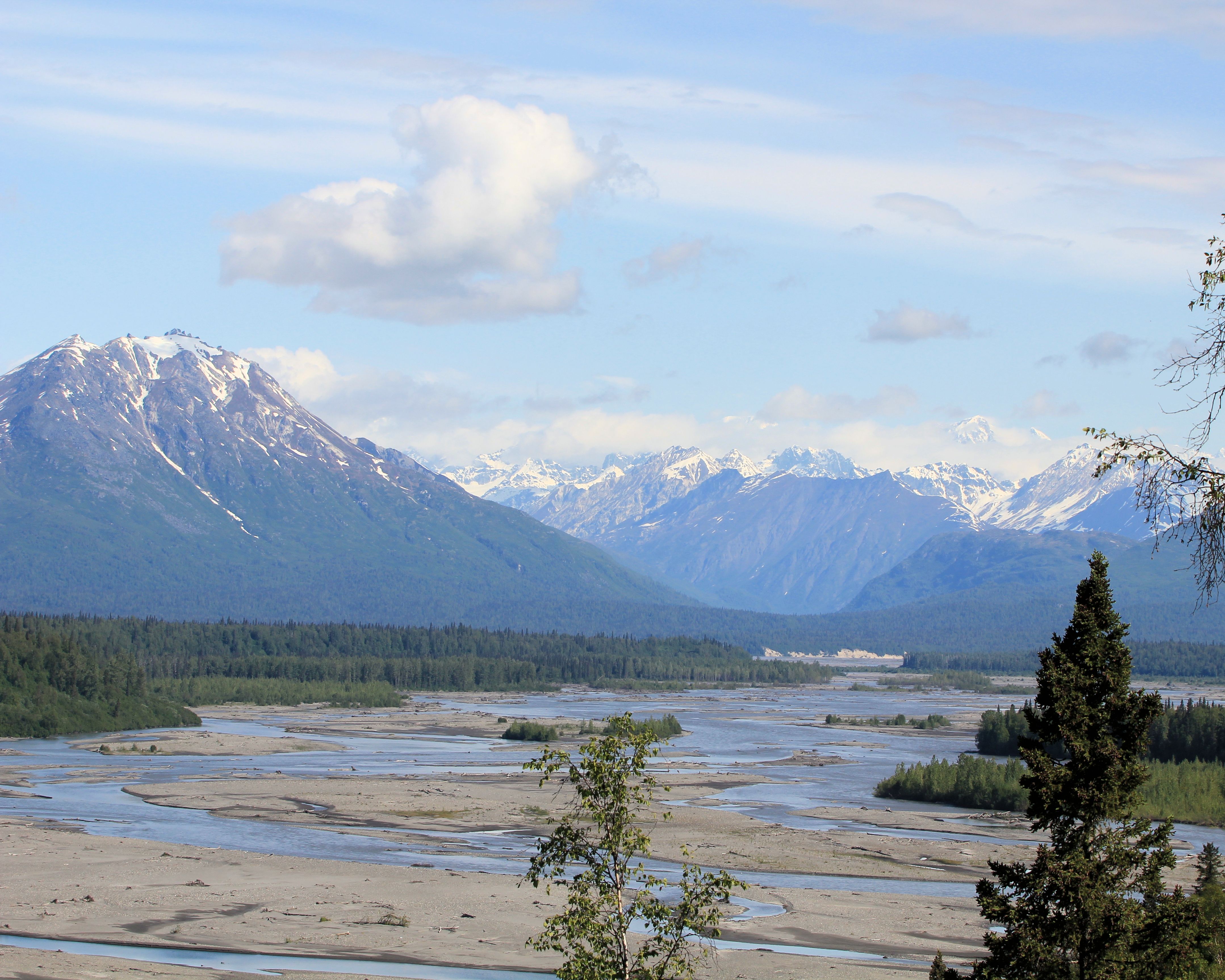
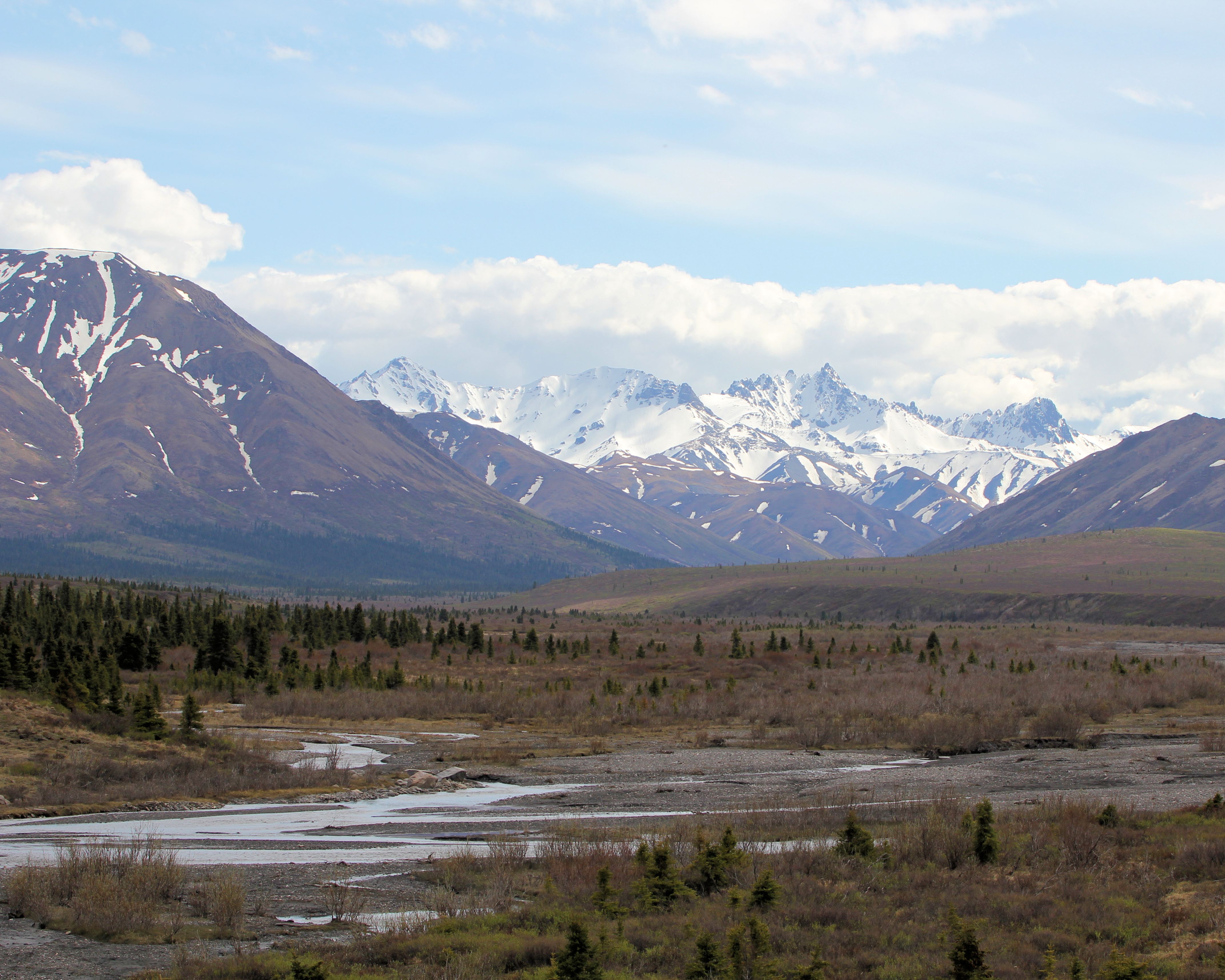
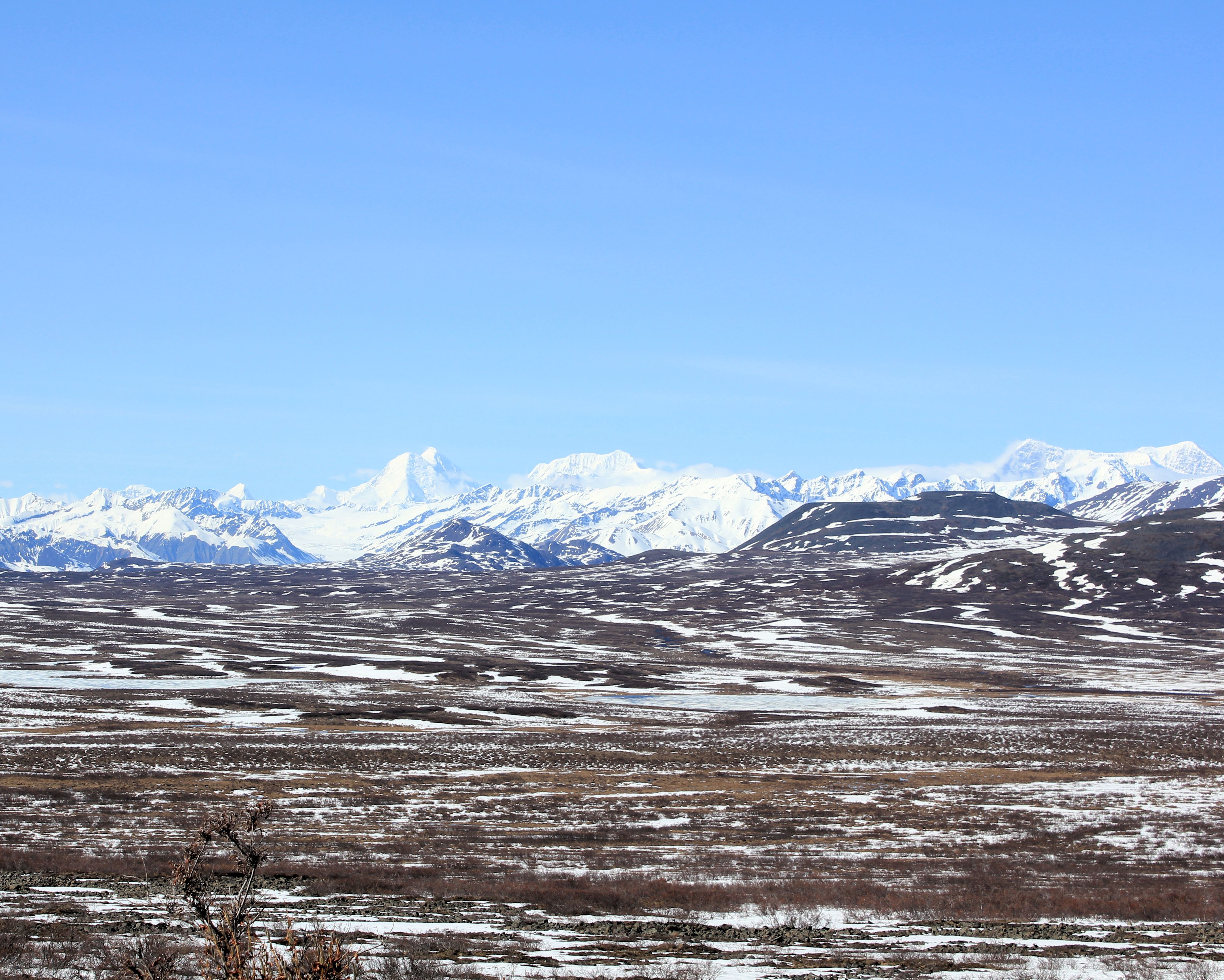
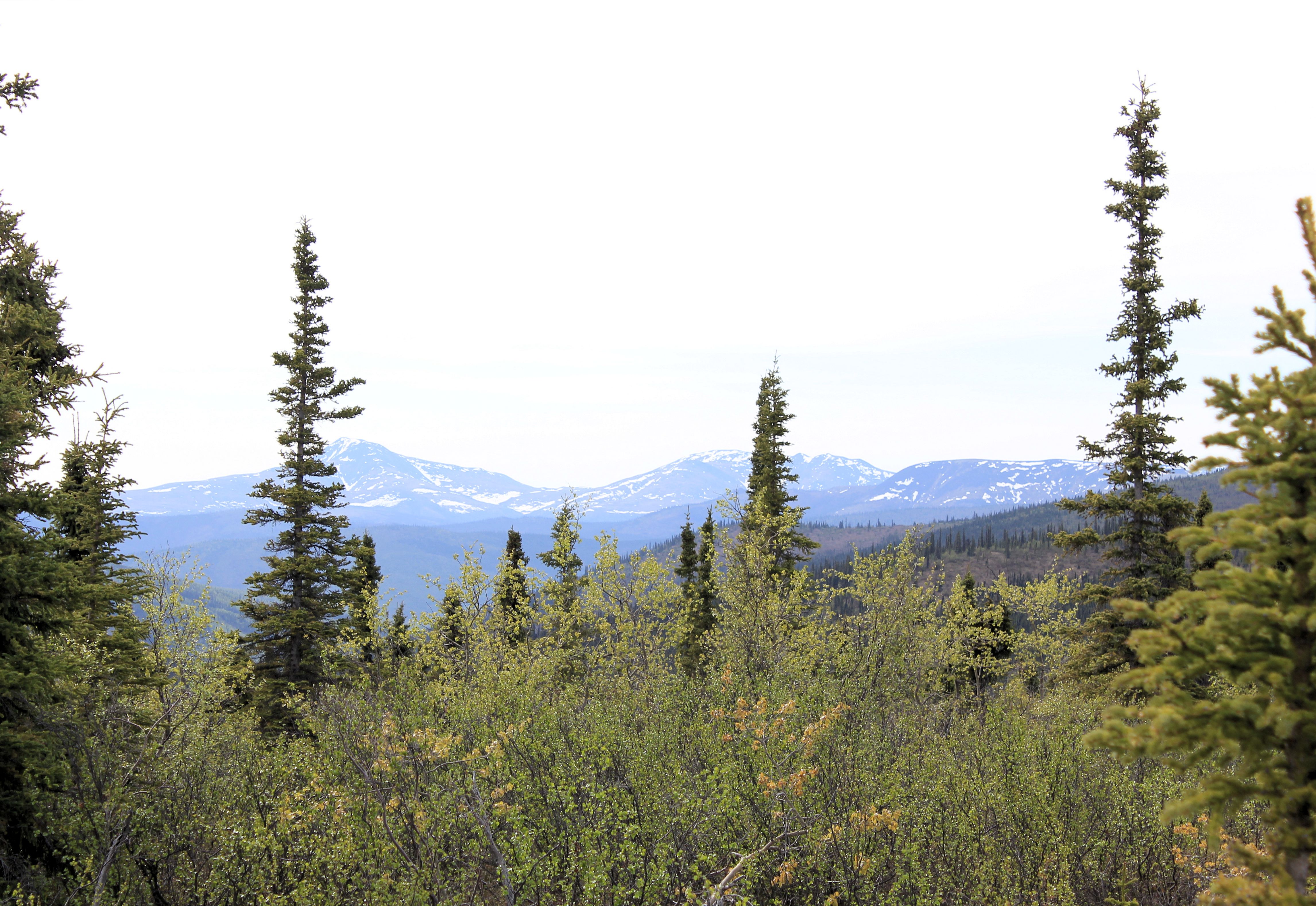
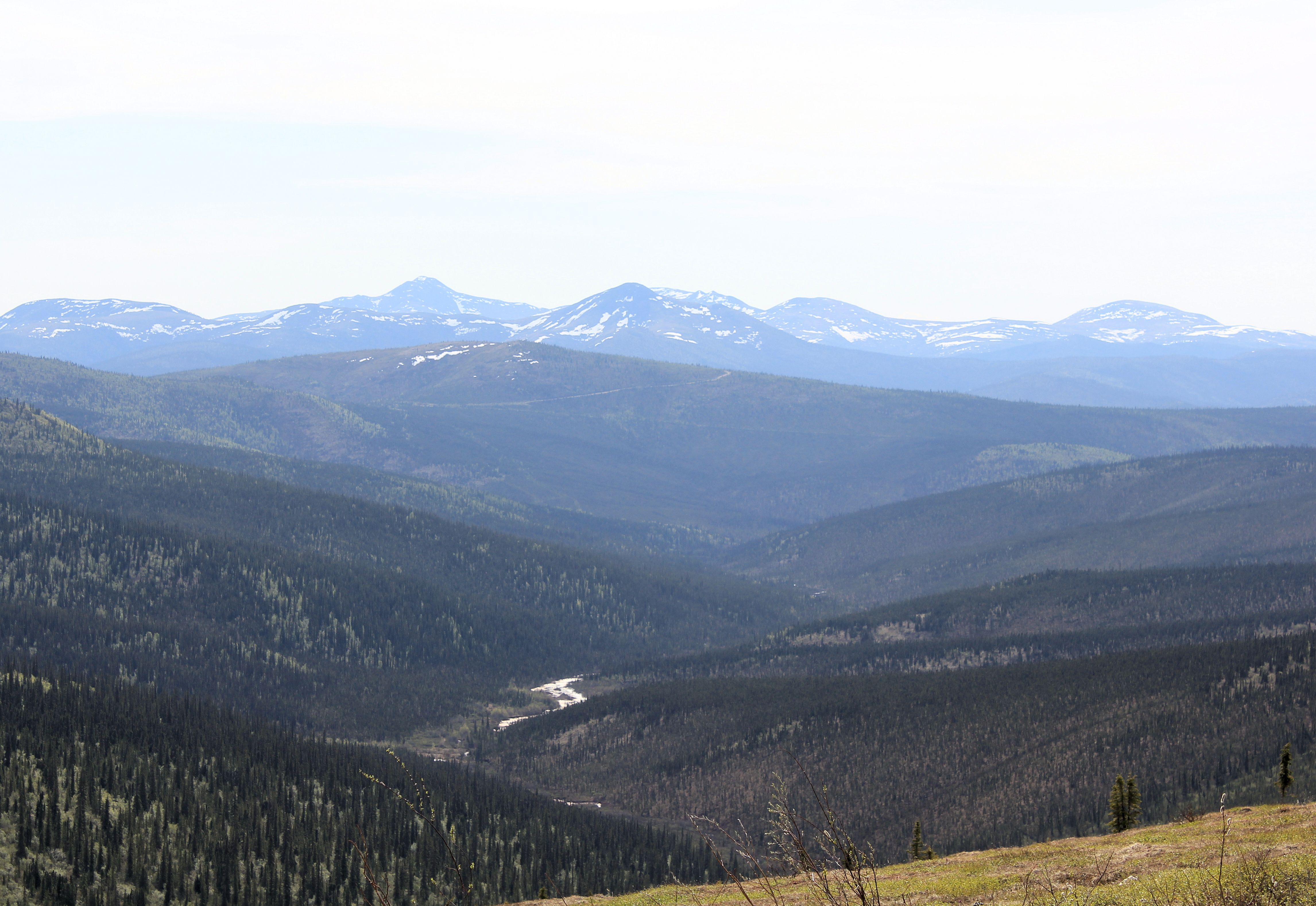
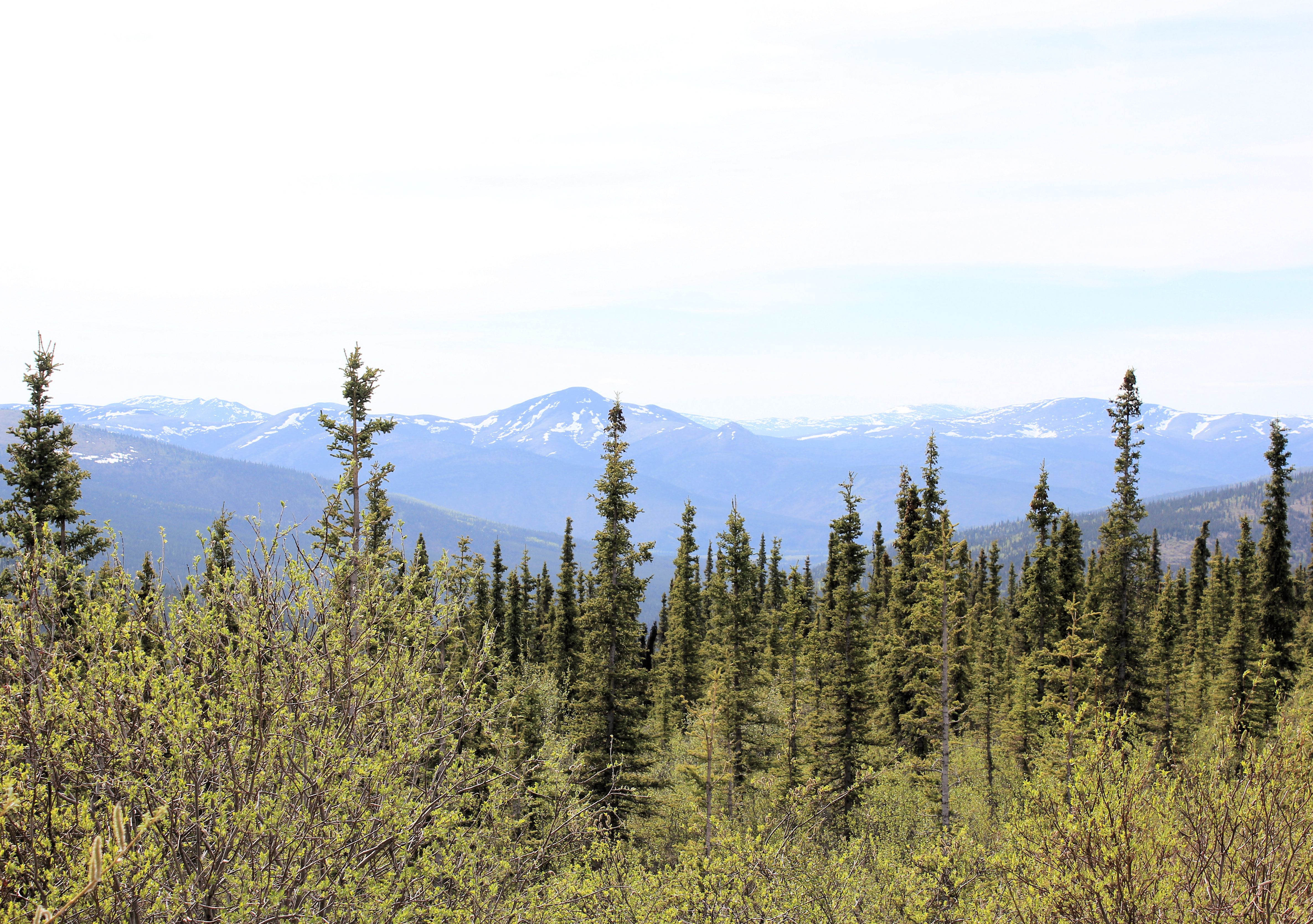
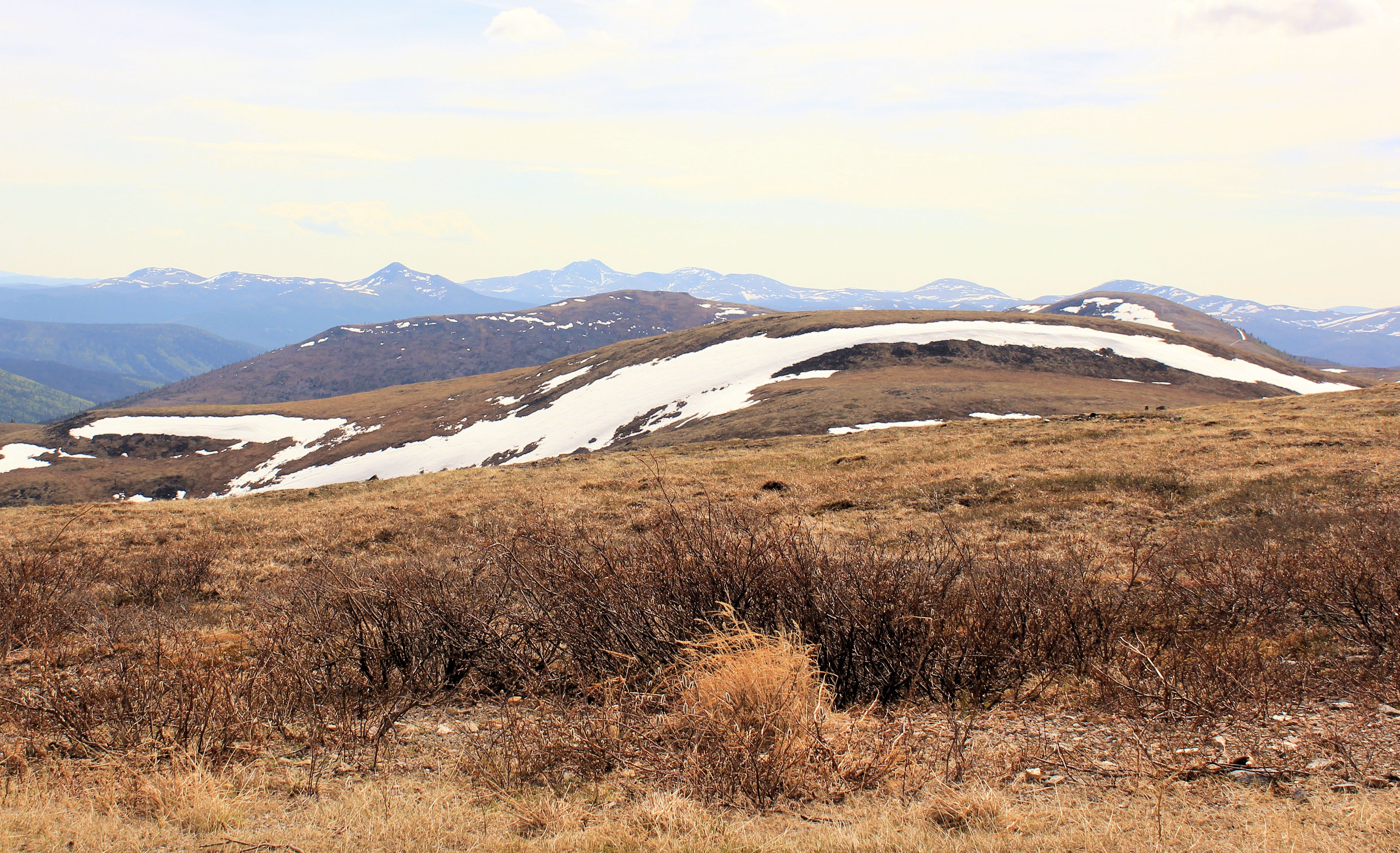
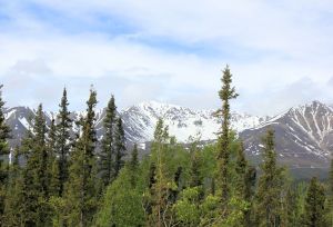
Back on to the Alaska Highway, we were presented with views of the Alaska Range of mountains to the Northwest.


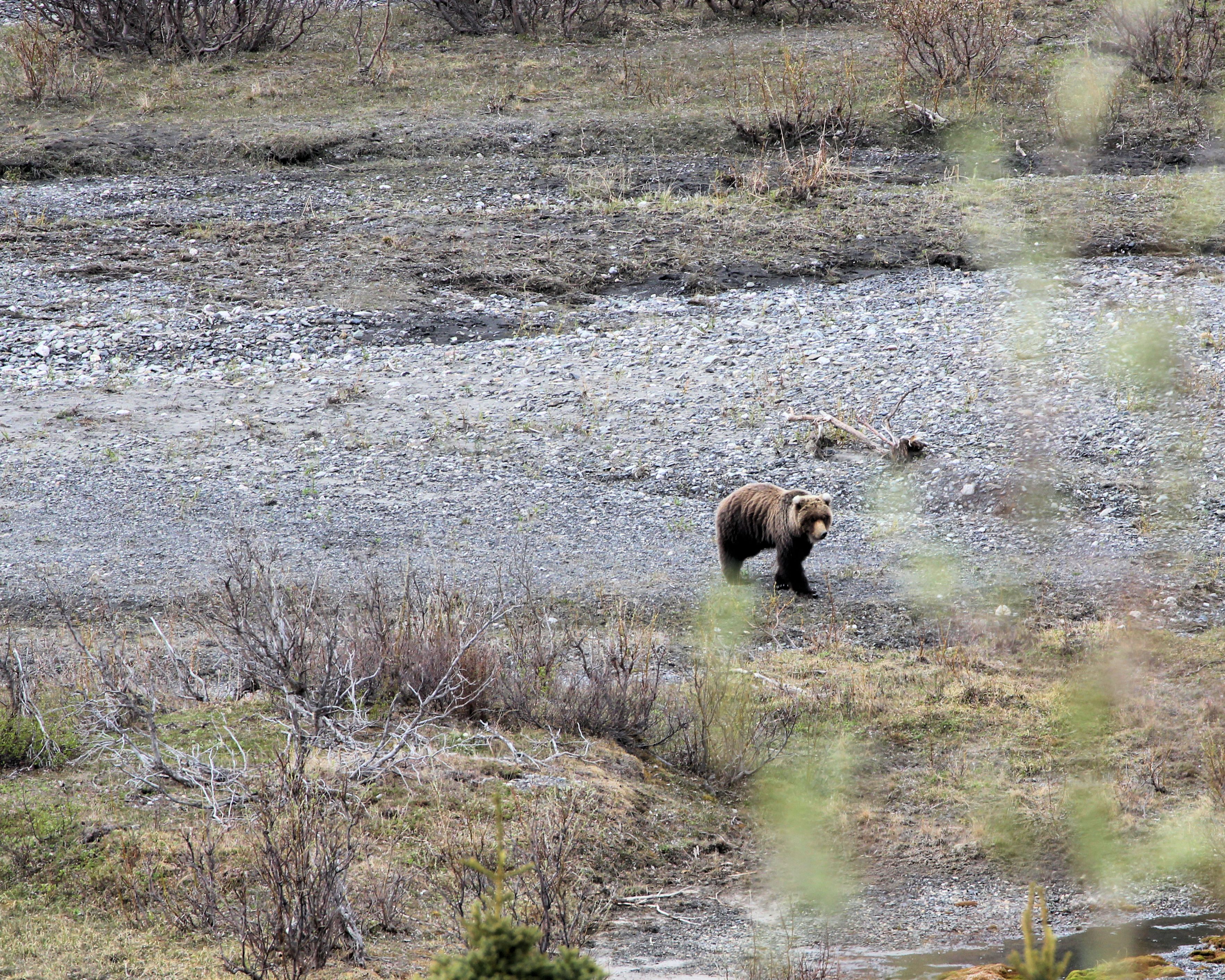
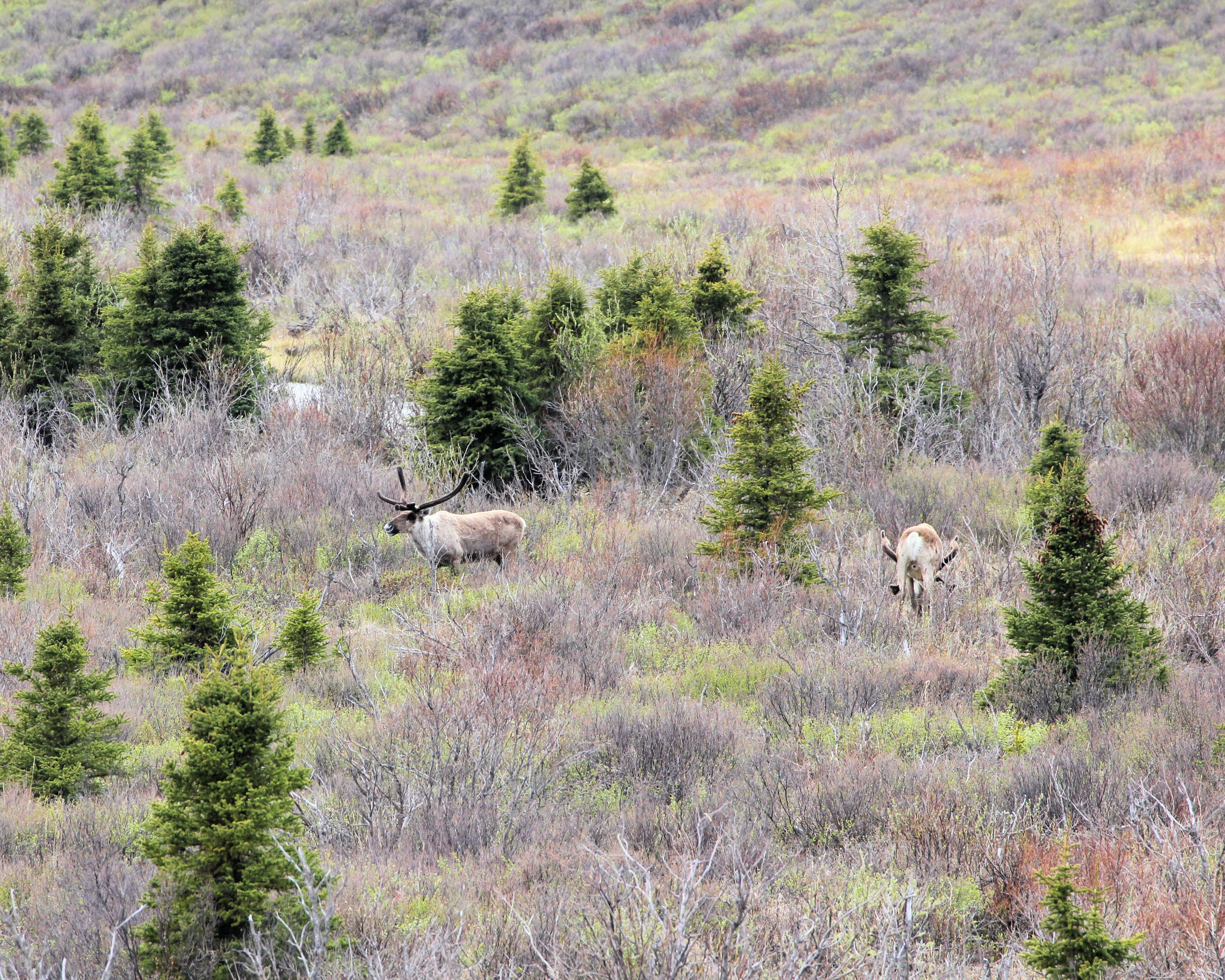
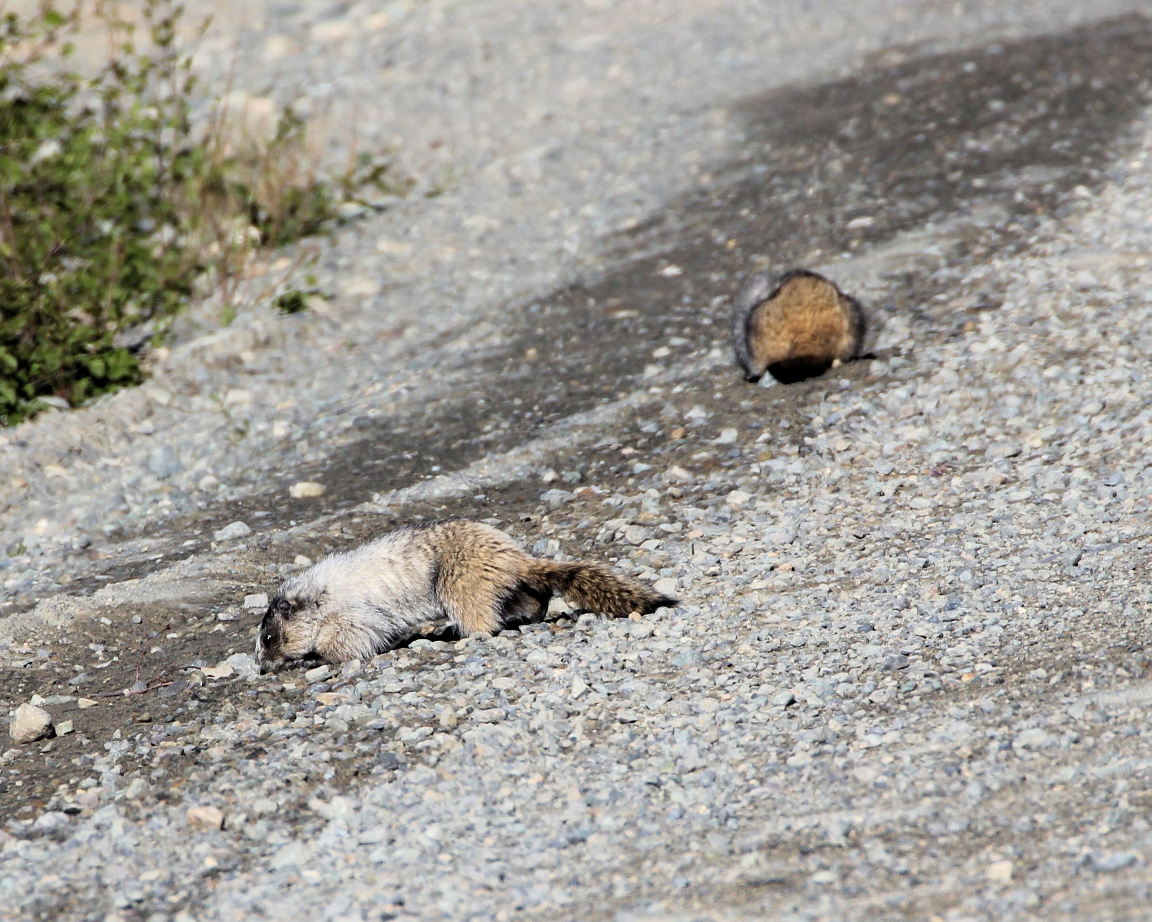
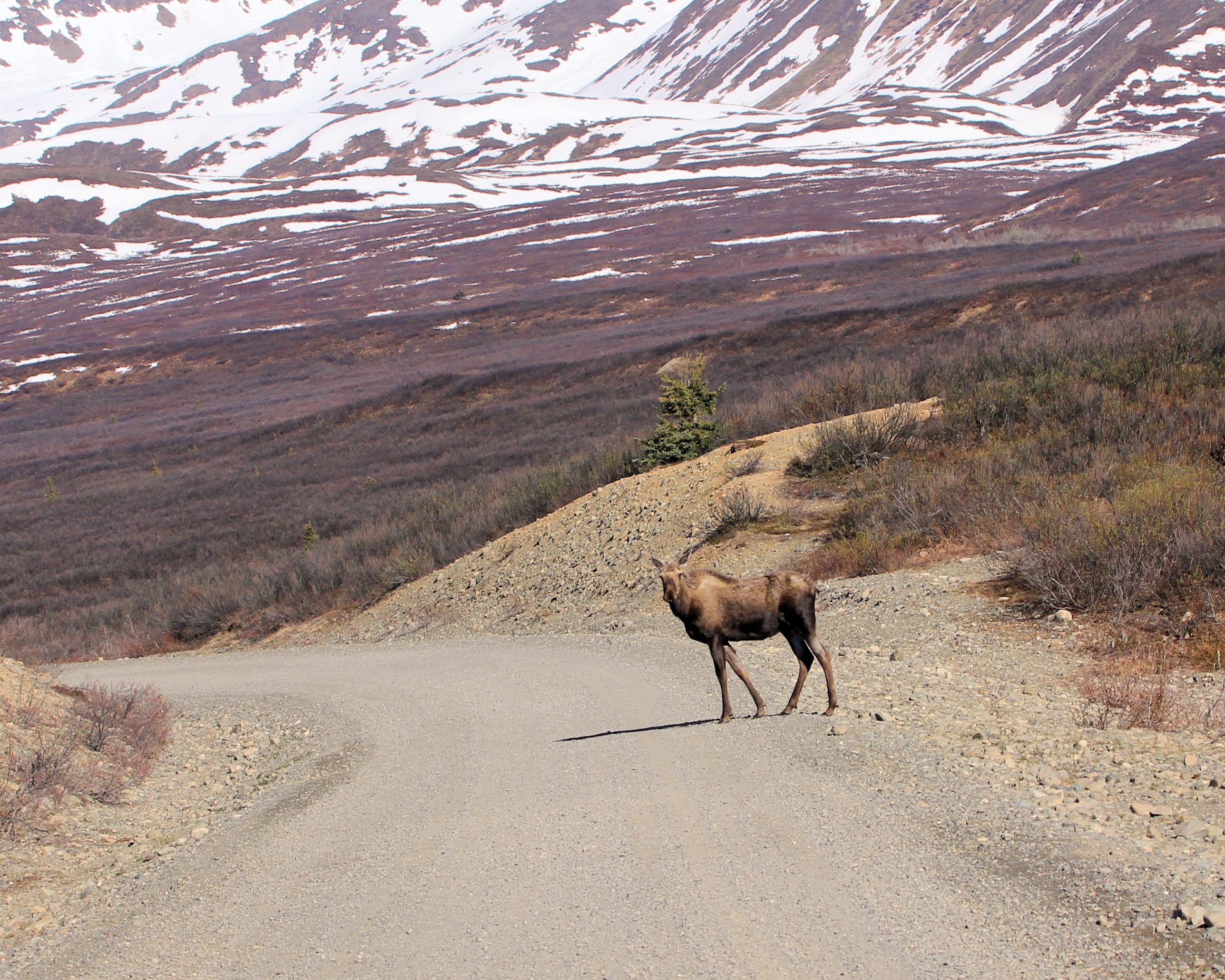
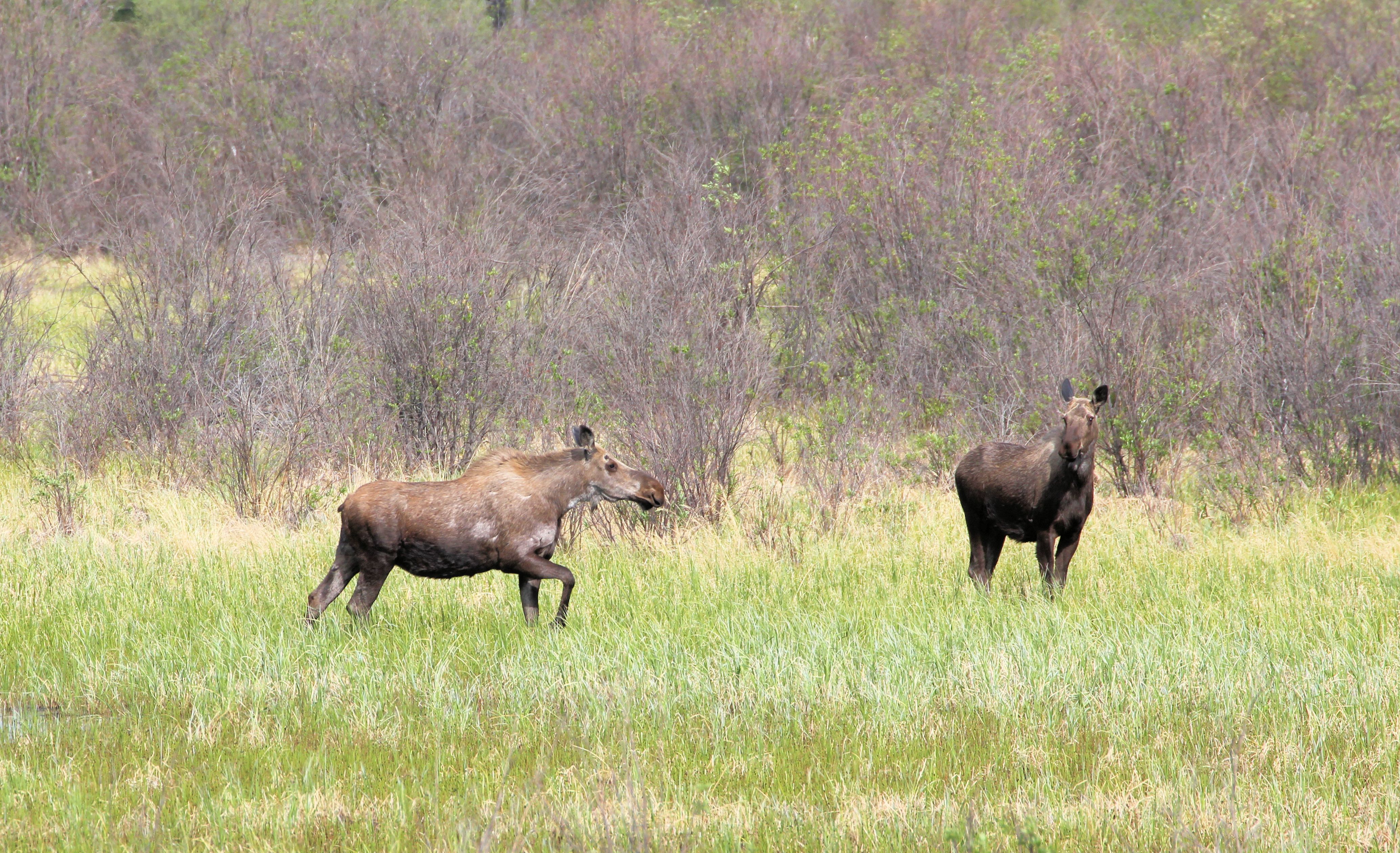
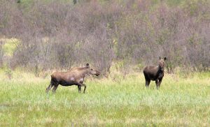
We had not seen many moose along our travels so far. This was about to change dramatically.
The plan for our first full day in Alaska was to head north toward Fairbanks; however, 25-35 MPH sustained wind speeds and gusts up to 50 MPH quickly took their toll on driving a land-yacht. We made it as far as Delta Junction before hunkering down and waiting for more favorable conditions.
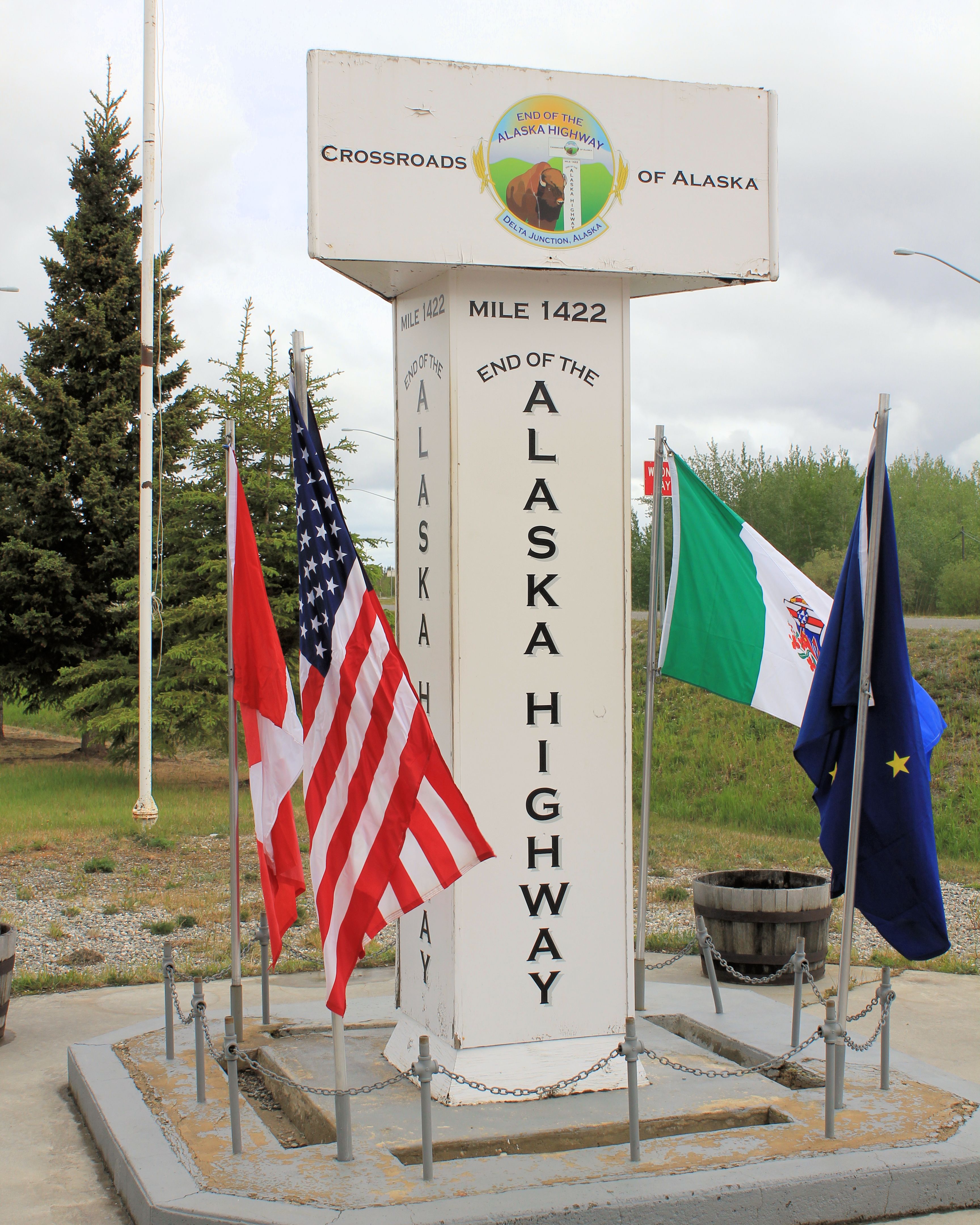
Delta Junction is the northern terminus of the Alaskan Highway. Here they have a tribute to the Alaskan State bird and a monument at the end of the Highway.

Alaskan State Bird

End of the Alaskan Highway
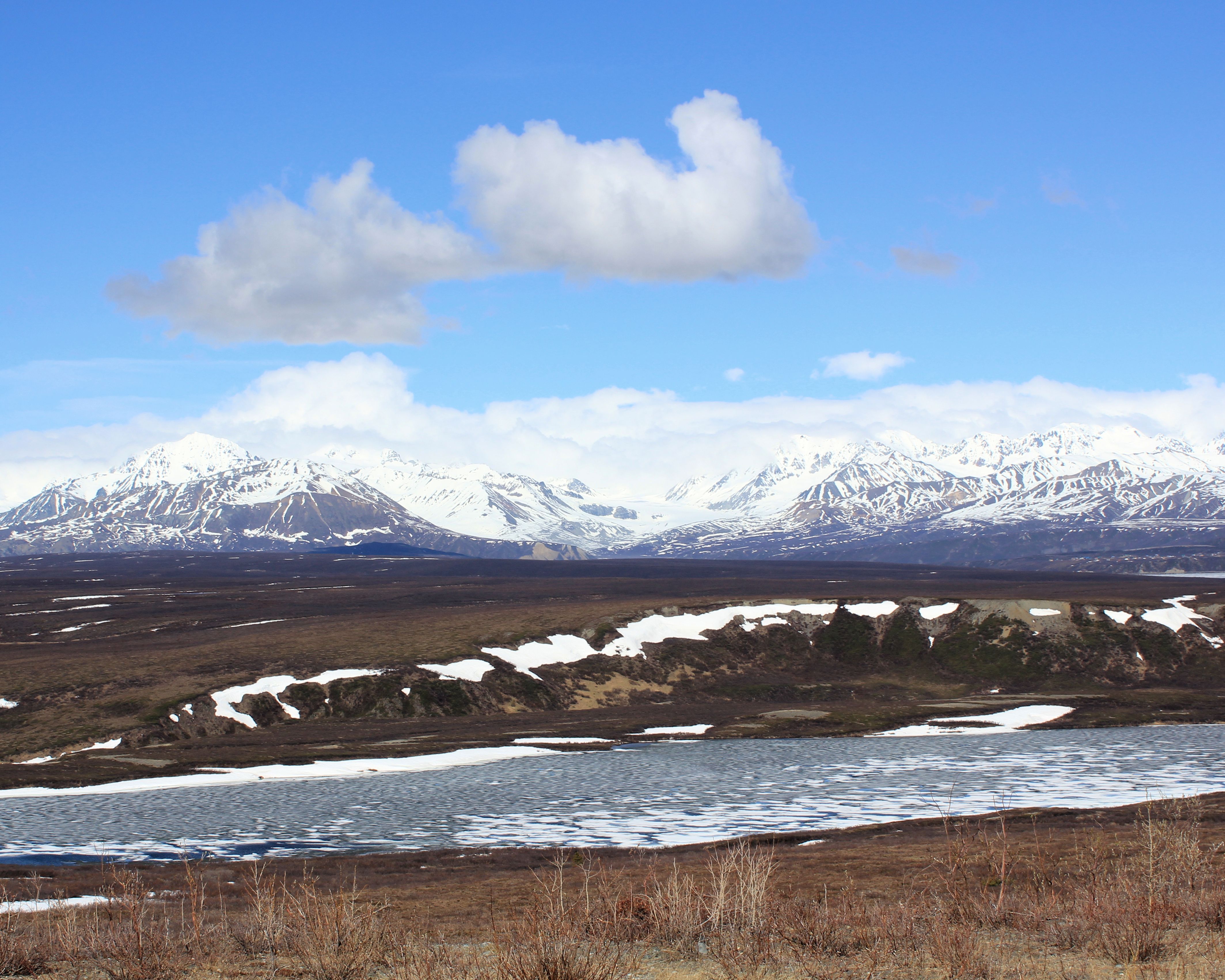
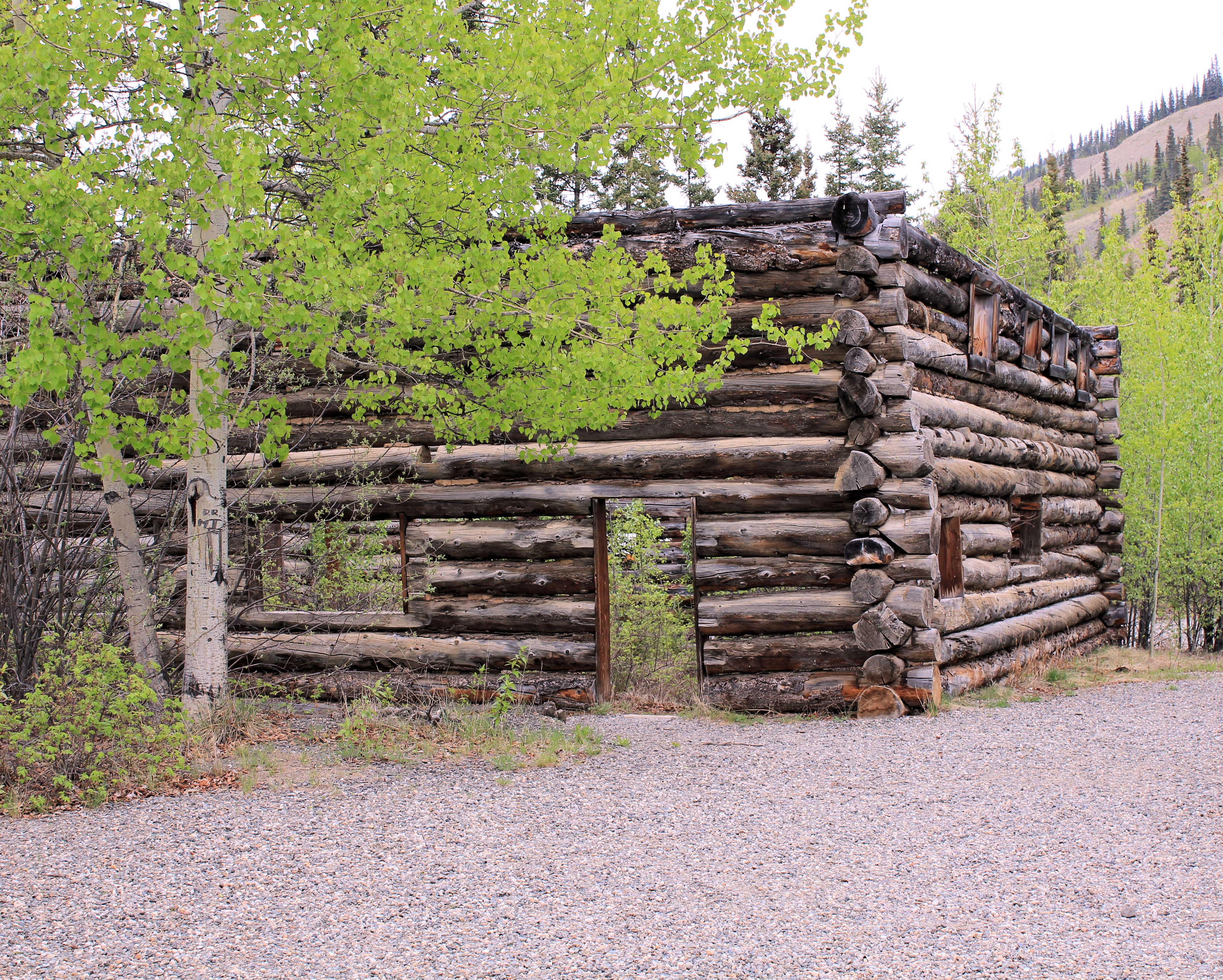
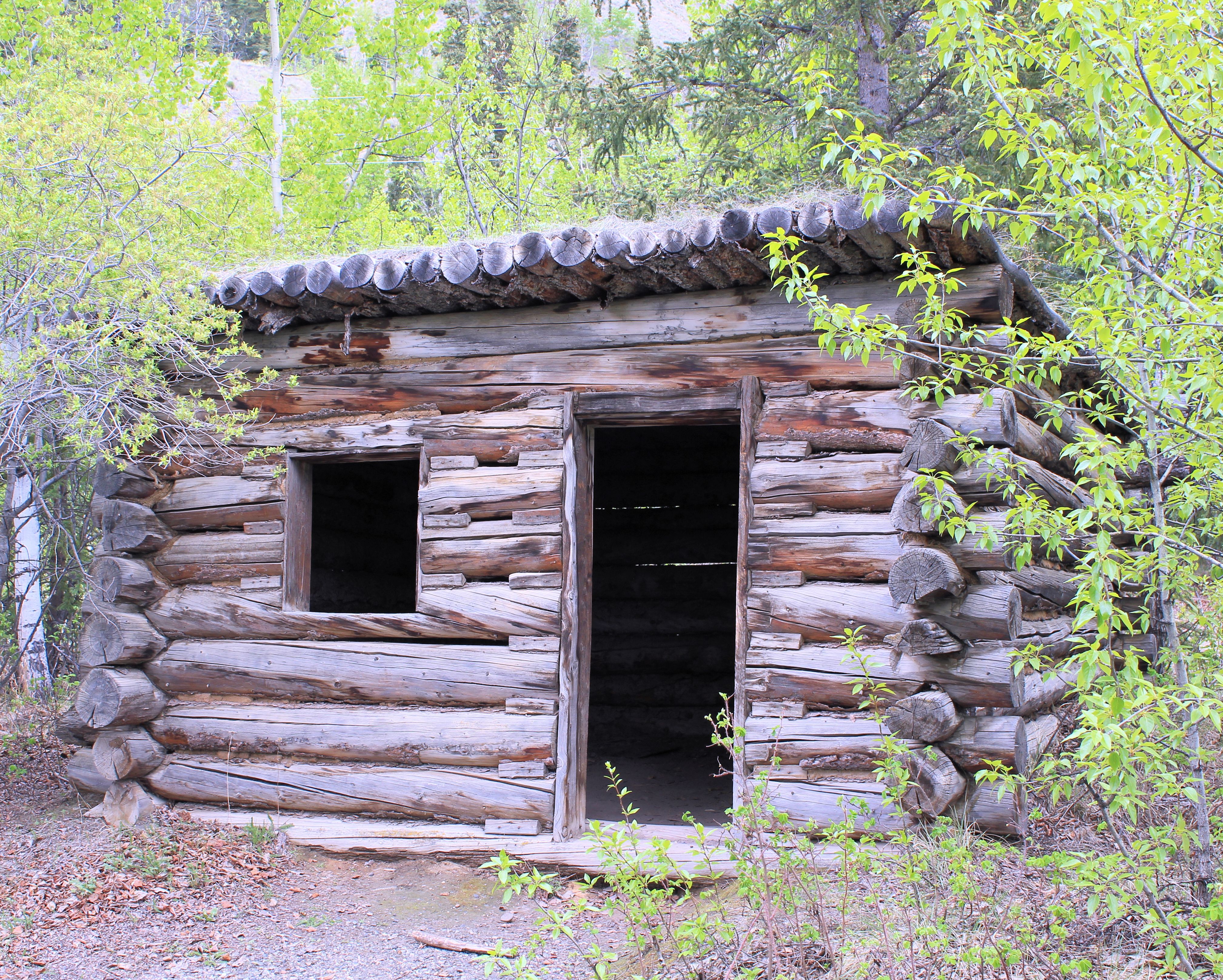
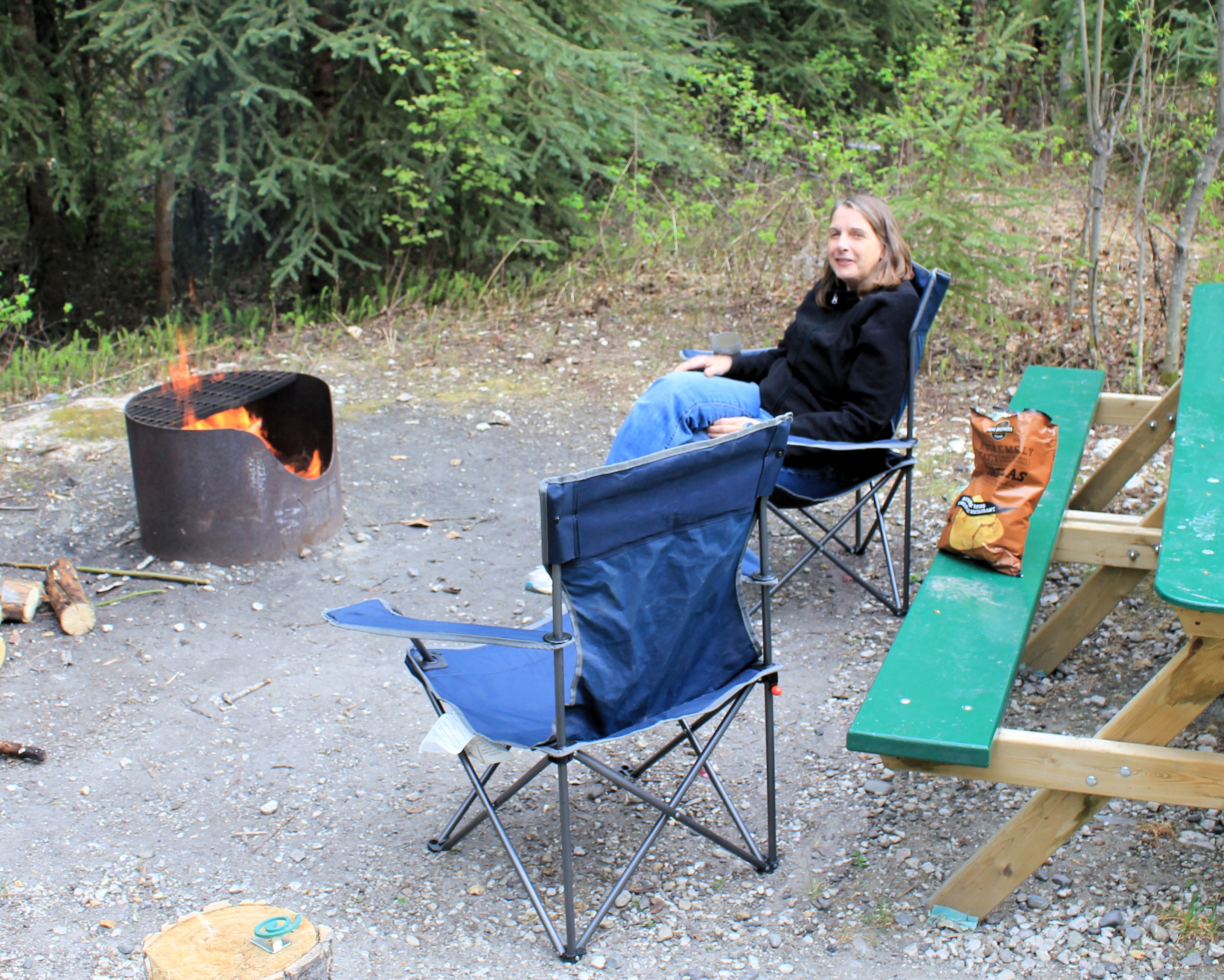
After a quick stop at the IGA for a few needed supplies, we headed to the Quartz Lake State Recreation Area and setup camp. Being only mid-day, we availed ourselves of some of the hiking trails and visited the Glatfelder Cabin, Lost Lake and Moose Pond.

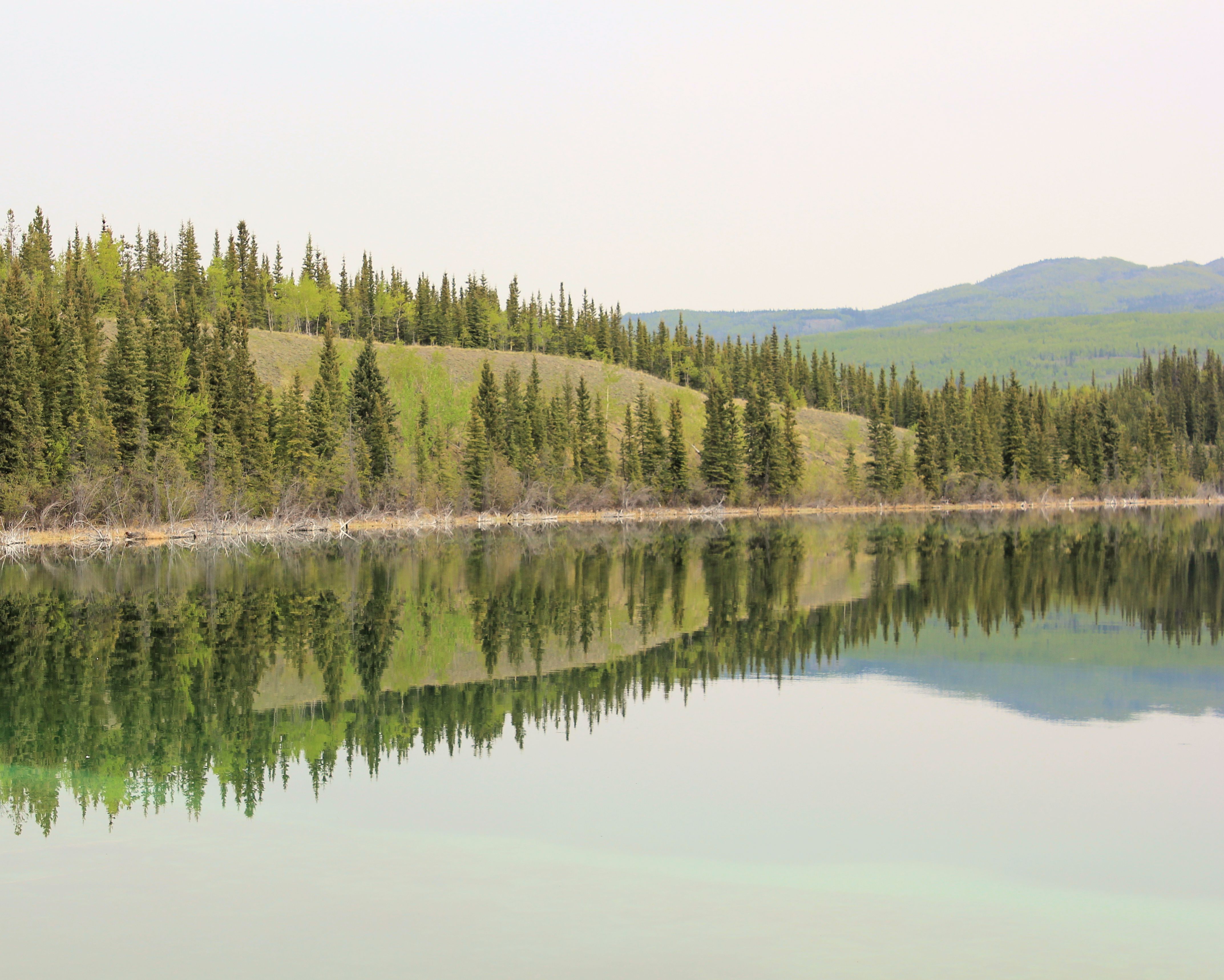
Quartz Lake

Glatfelder Cabin at Quartz Lake

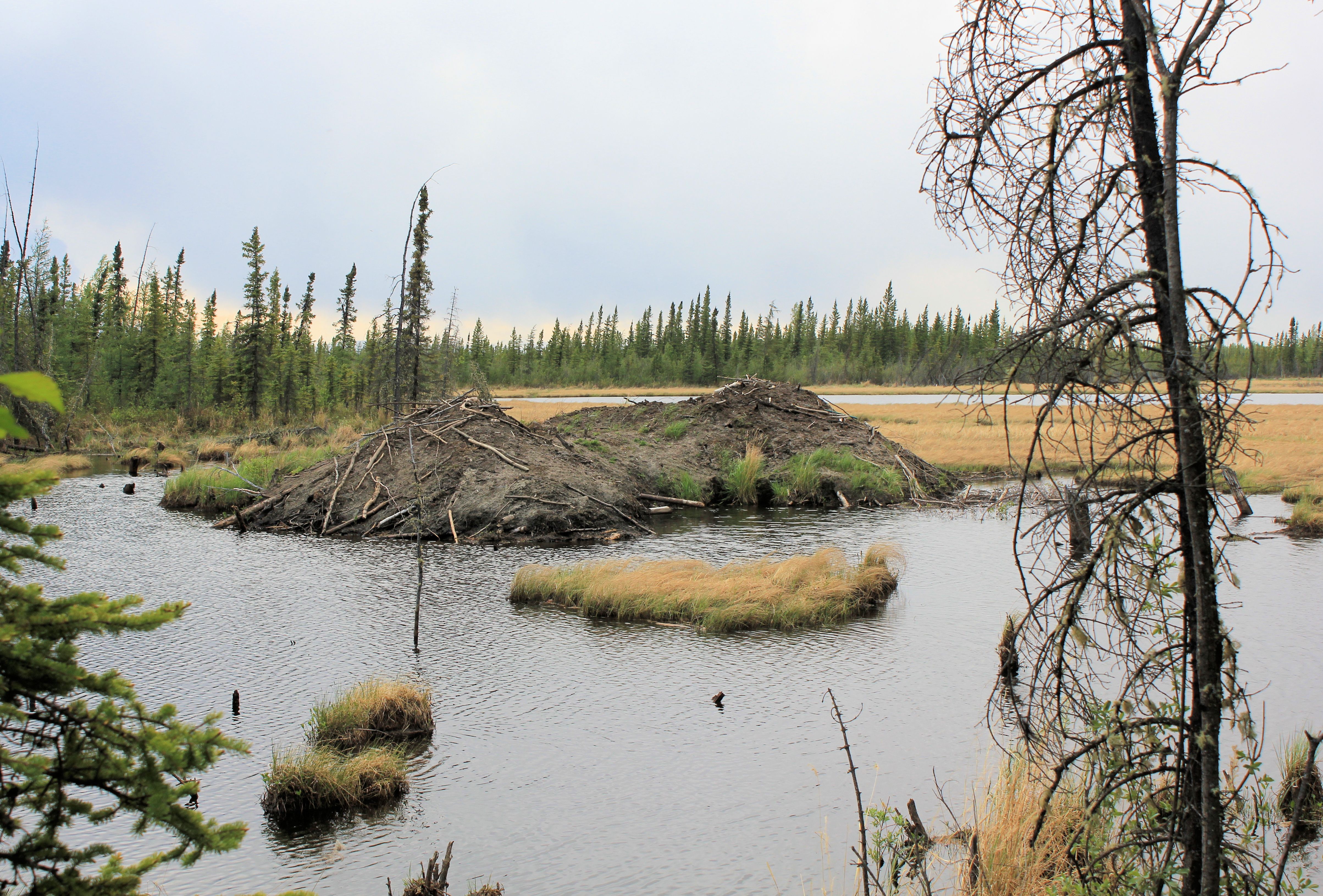
Double Beaver Lodge on Moose Pond
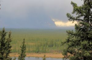
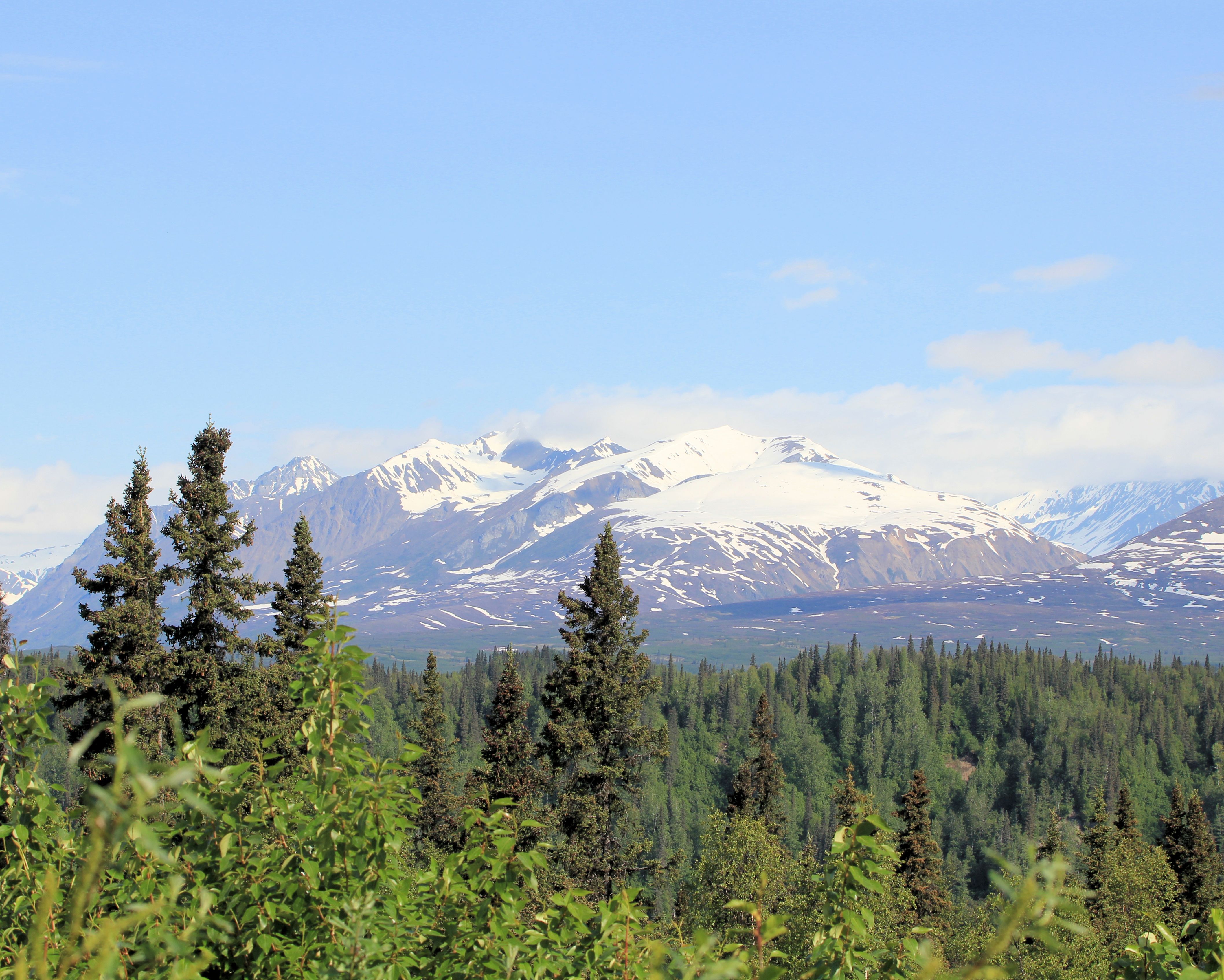
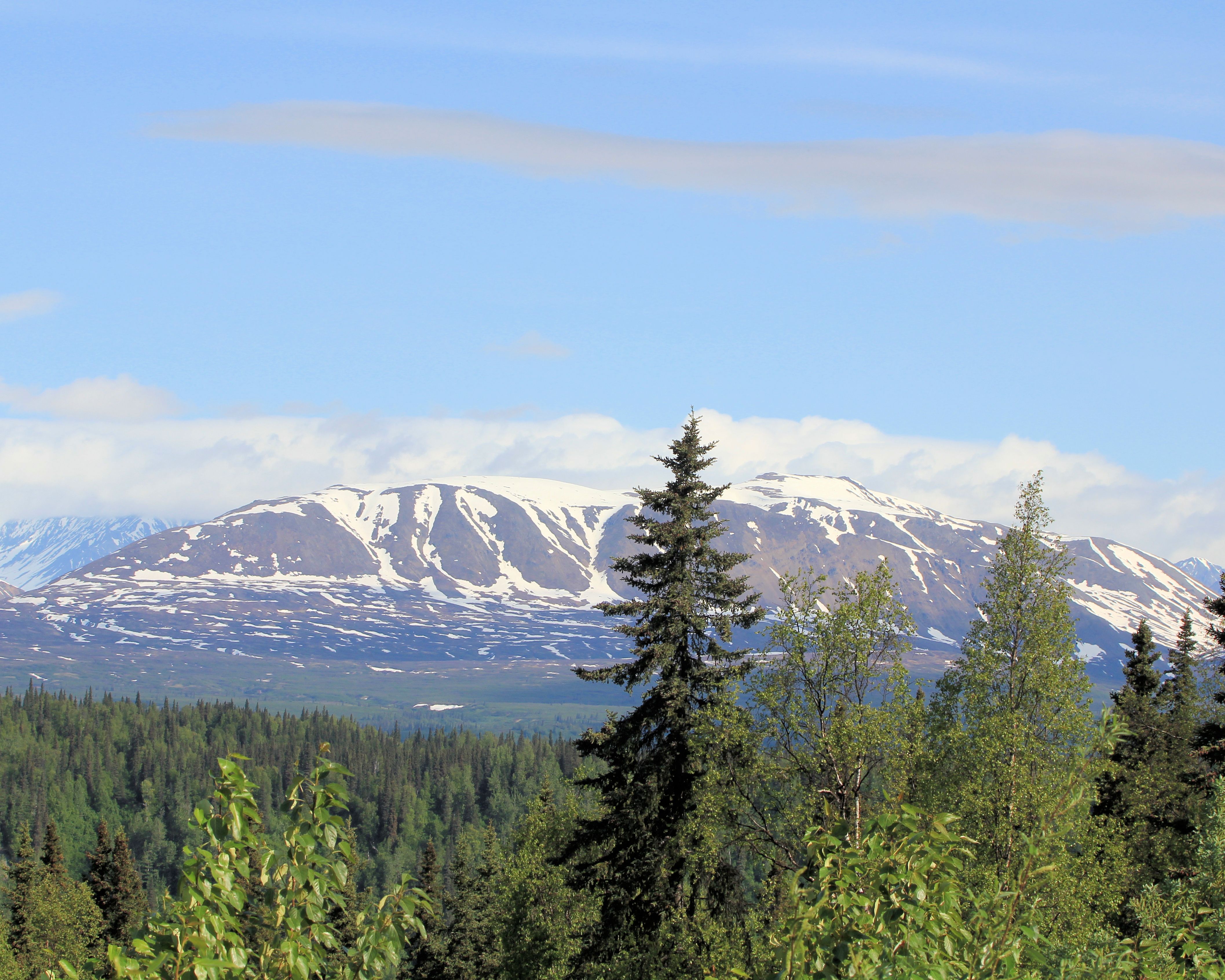
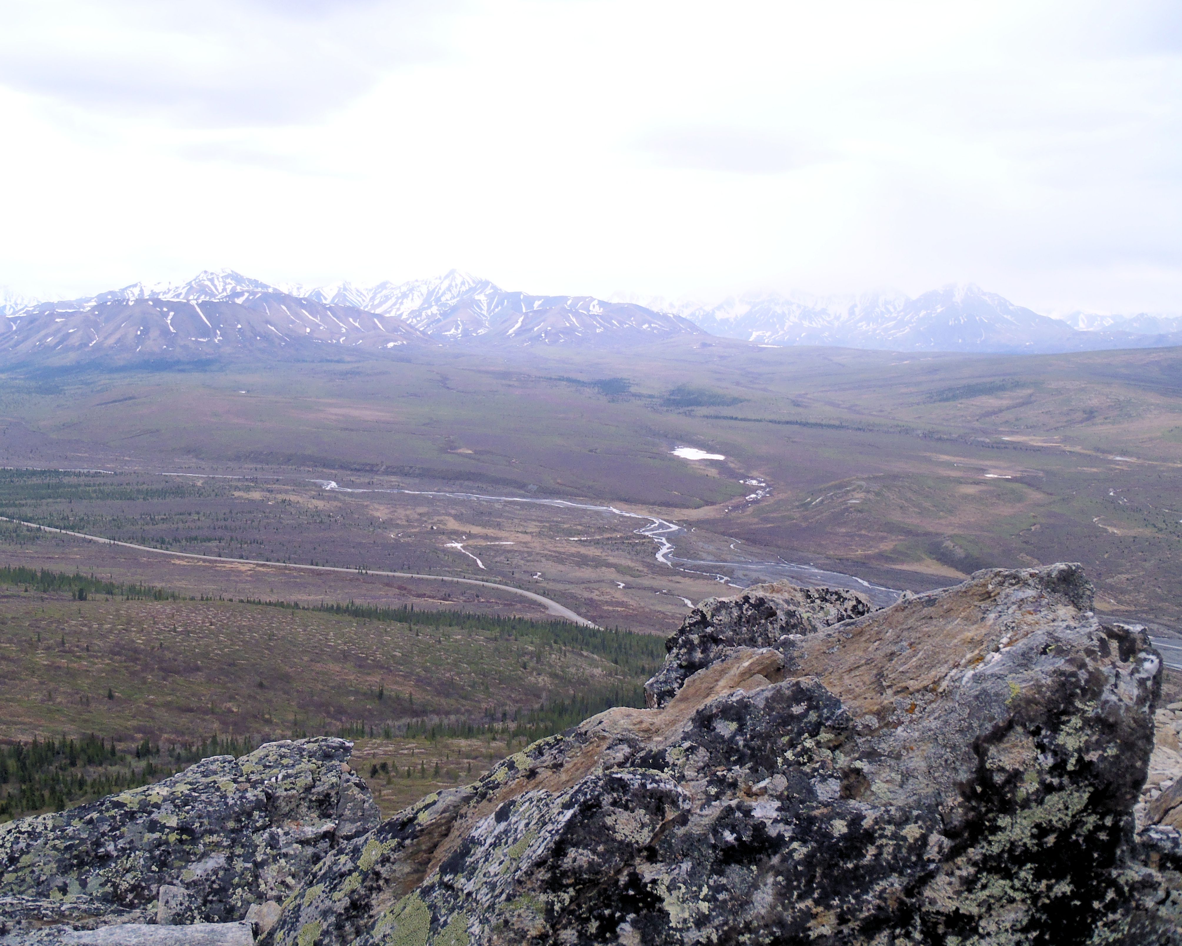
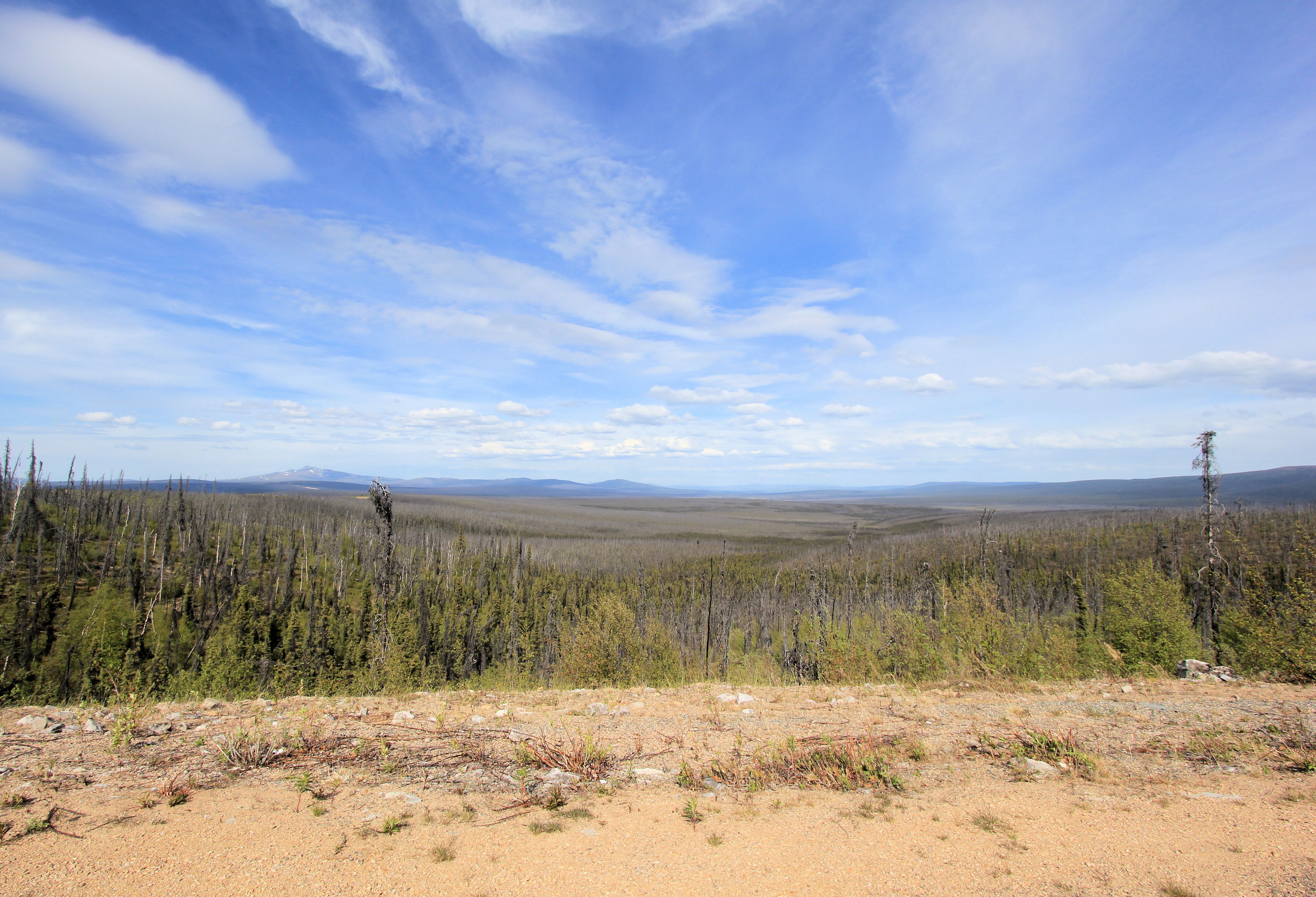
Forest Fire from Bluff Point with the Alaskan Range in the background
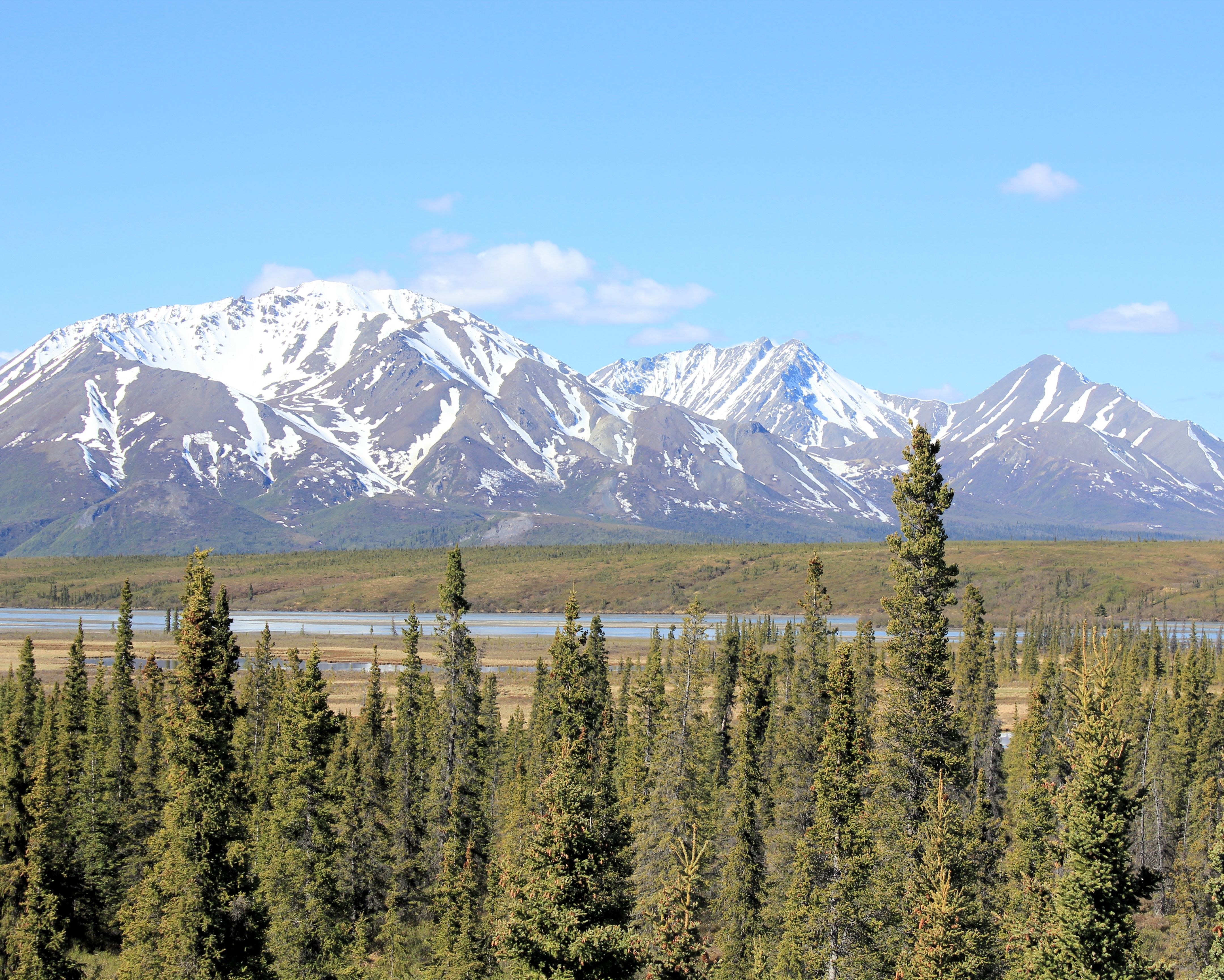
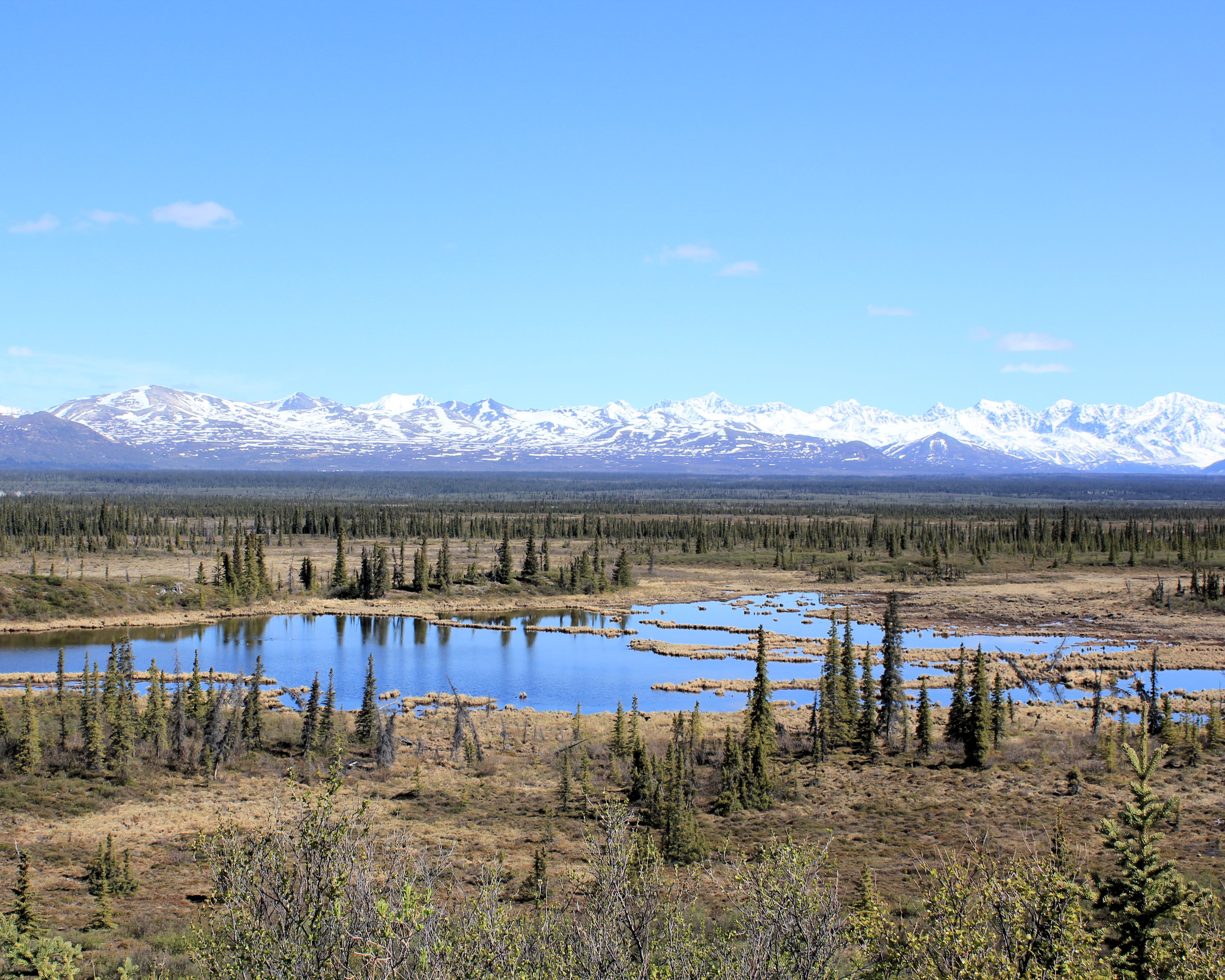
The next morning with the winds diminished, we headed north on the Richardson Highway. As alluded to earlier, in Alaska we started to see many, many moose. After awhile, we started skipping the pictures.

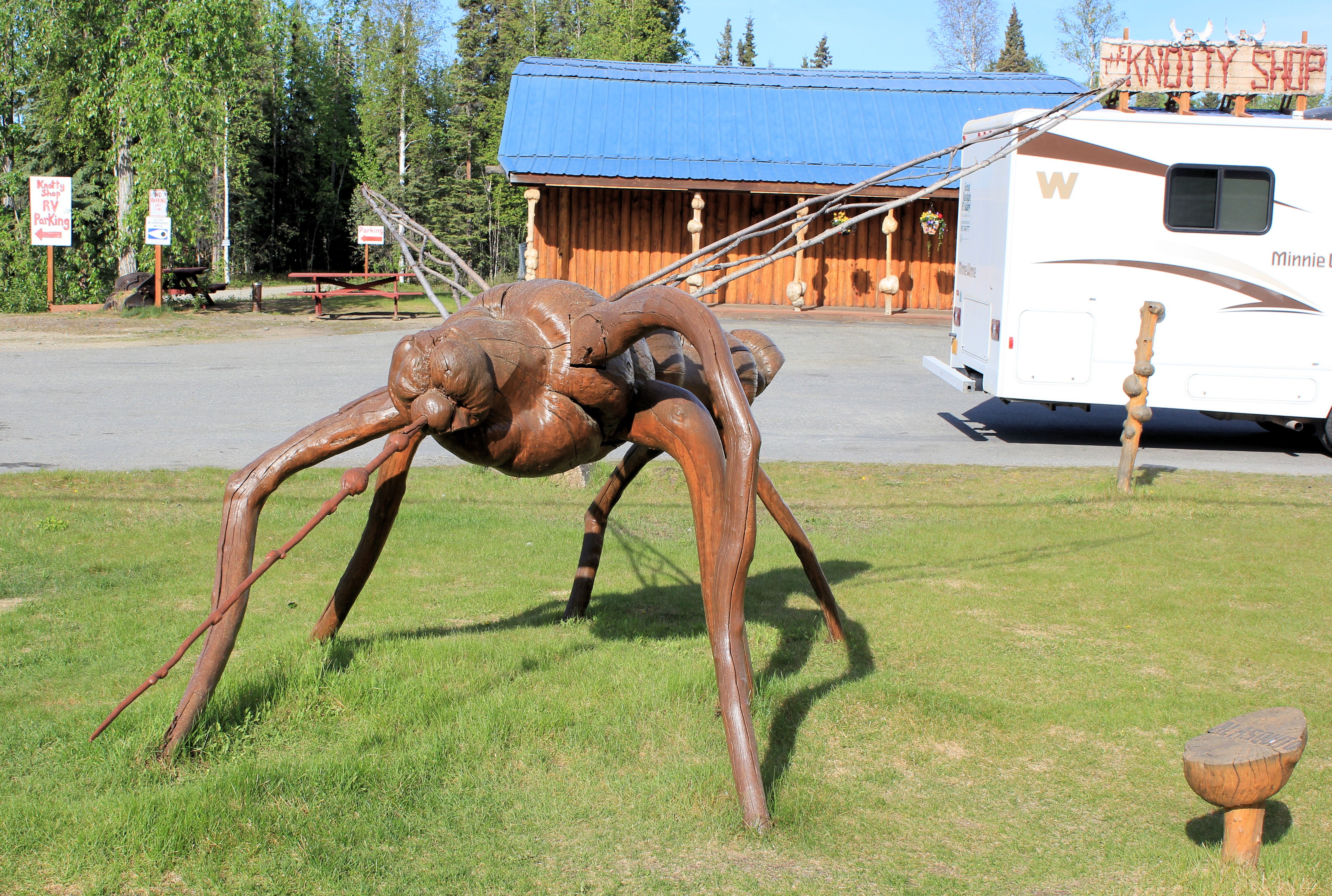
On our way north, we stopped at the Knotty Shop which is owned and operated by 6th generation Alaskans whose great-great-great grandparents were early-day Yukon and Alaska pioneers and is known for its burl gifts. Here we found more mosquito art.
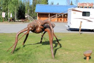
A Burl Mosquito
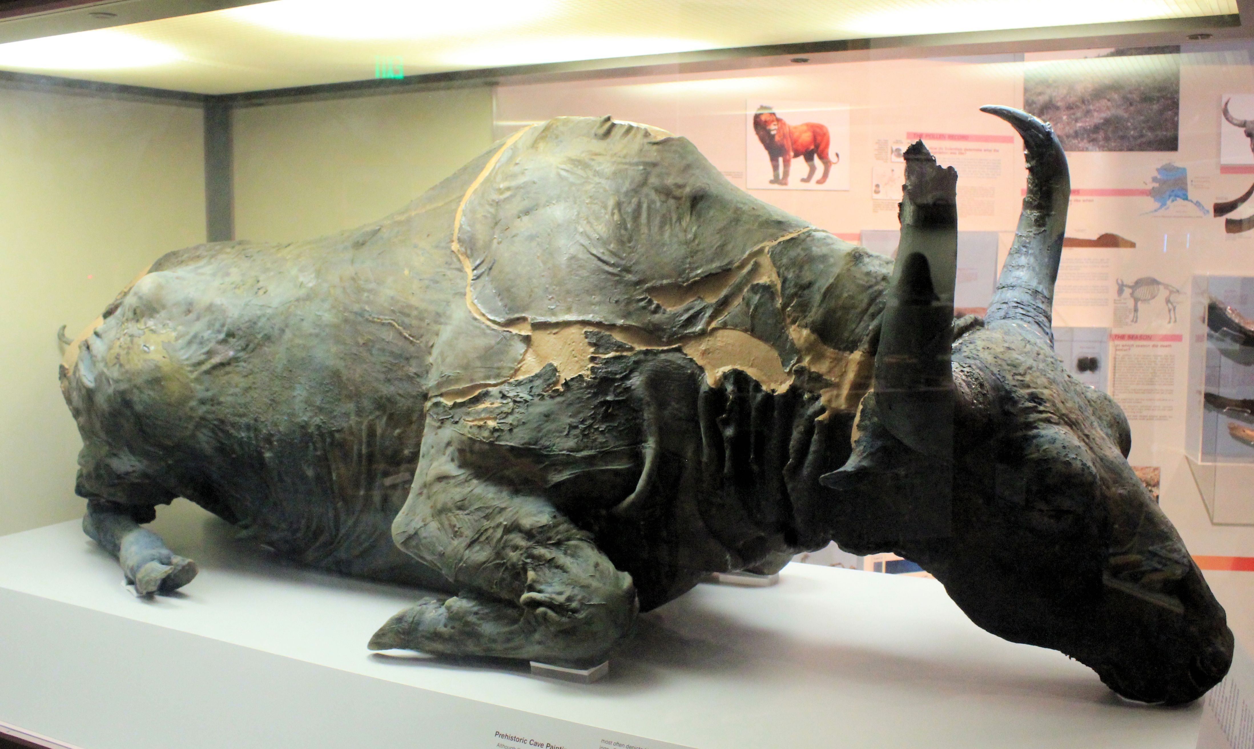
Shortly thereafter, we reached Fairbanks. We visited Fairbanks on this Alaskan visit because we did not on the previous one. Our first stop was the University of Alaska Museum of the North. Here we were able to see Blue Babe, the mummified remains of an Ice Age Alaskan steppe bison discovered by gold miners in 1979 near Fairbanks. Just a few days earlier, we had seen a video which discussed the significance of Blue Babe at the Yukon Beringia Interpretive Centre in Whitehorse, YT.

Blue Babe at the Museum of the North
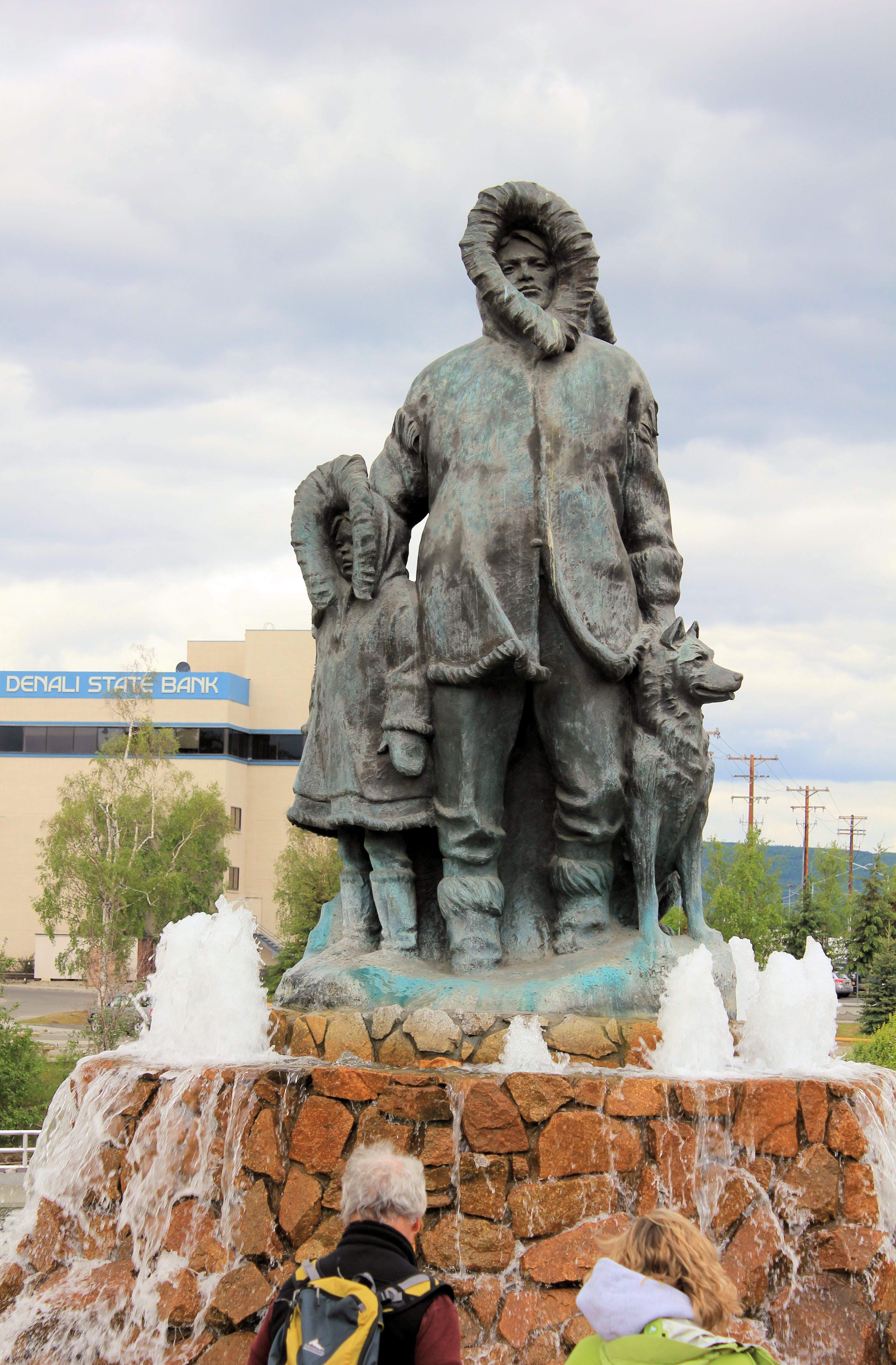
Later in the day, we visited the headquarters of the Yukon Quest, the 1,000 mile International Sled Dog race between Whitehorse, Yukon and Fairbanks, and saw the “The First Unknown Family” monument in Golden Heart Park along the banks of the Chena River.
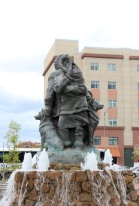
The First Unknown Family
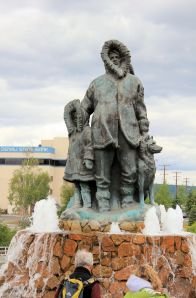
The First Unknown Family
Monday was forecast to be cold and rainy all day. This was really the first rainy weather we had encountered on the trip. Where better to spend a cold, rainy day than in hot springs? First thing Monday, we headed out to Chena Hot Springs, set up camp and headed to the springs. The hot springs warmed us up and the rain cooled us off a little.
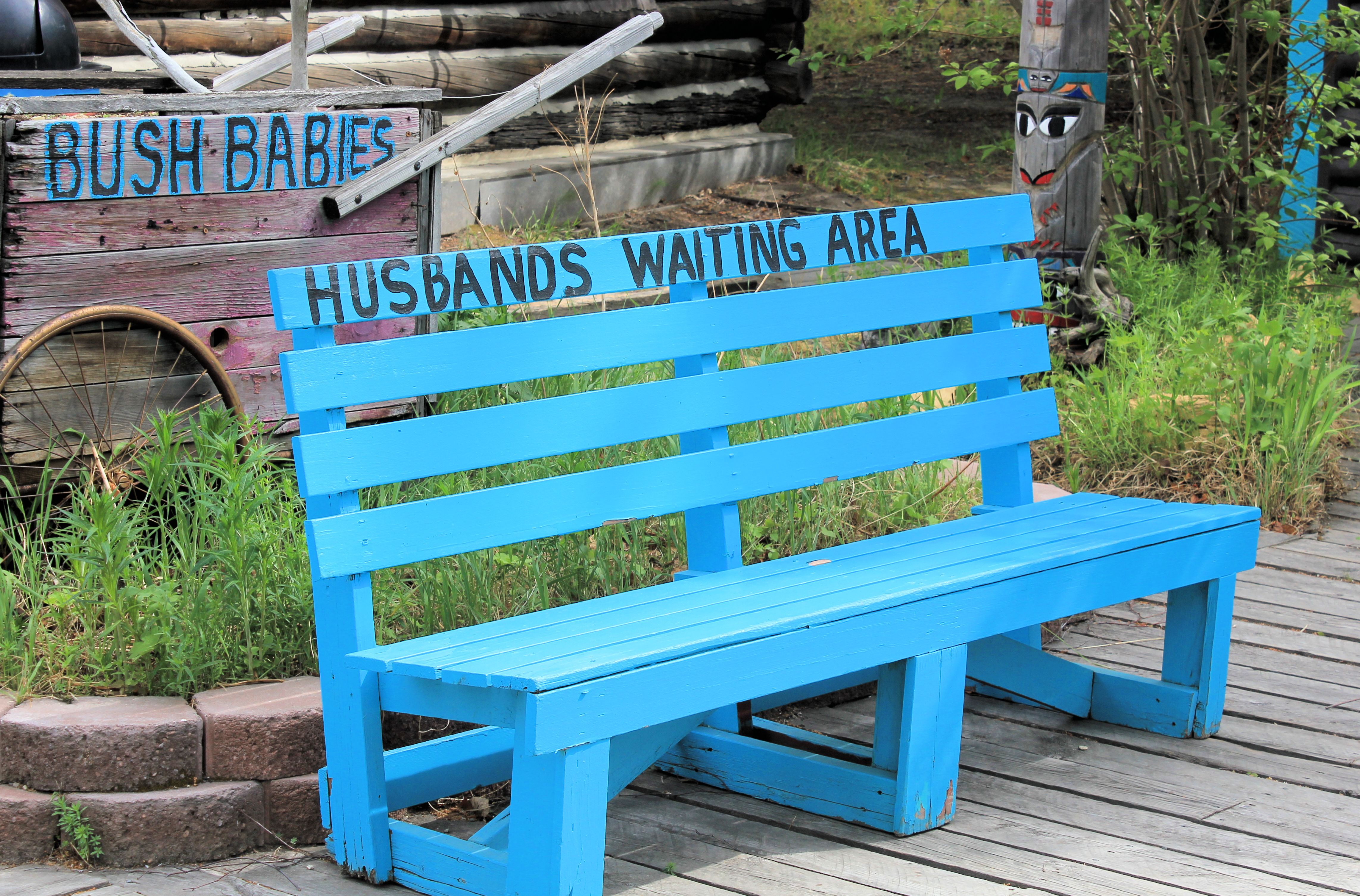
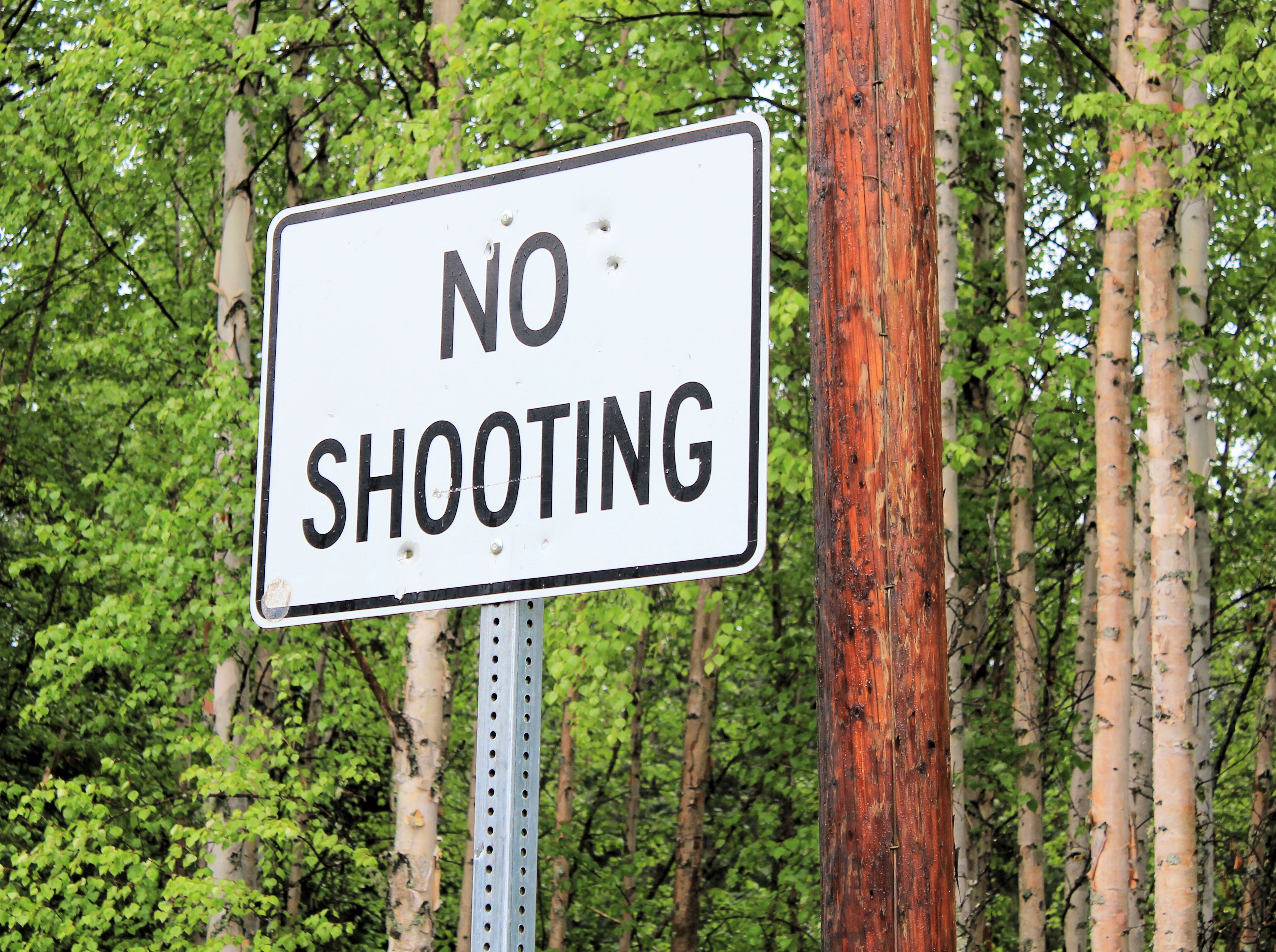
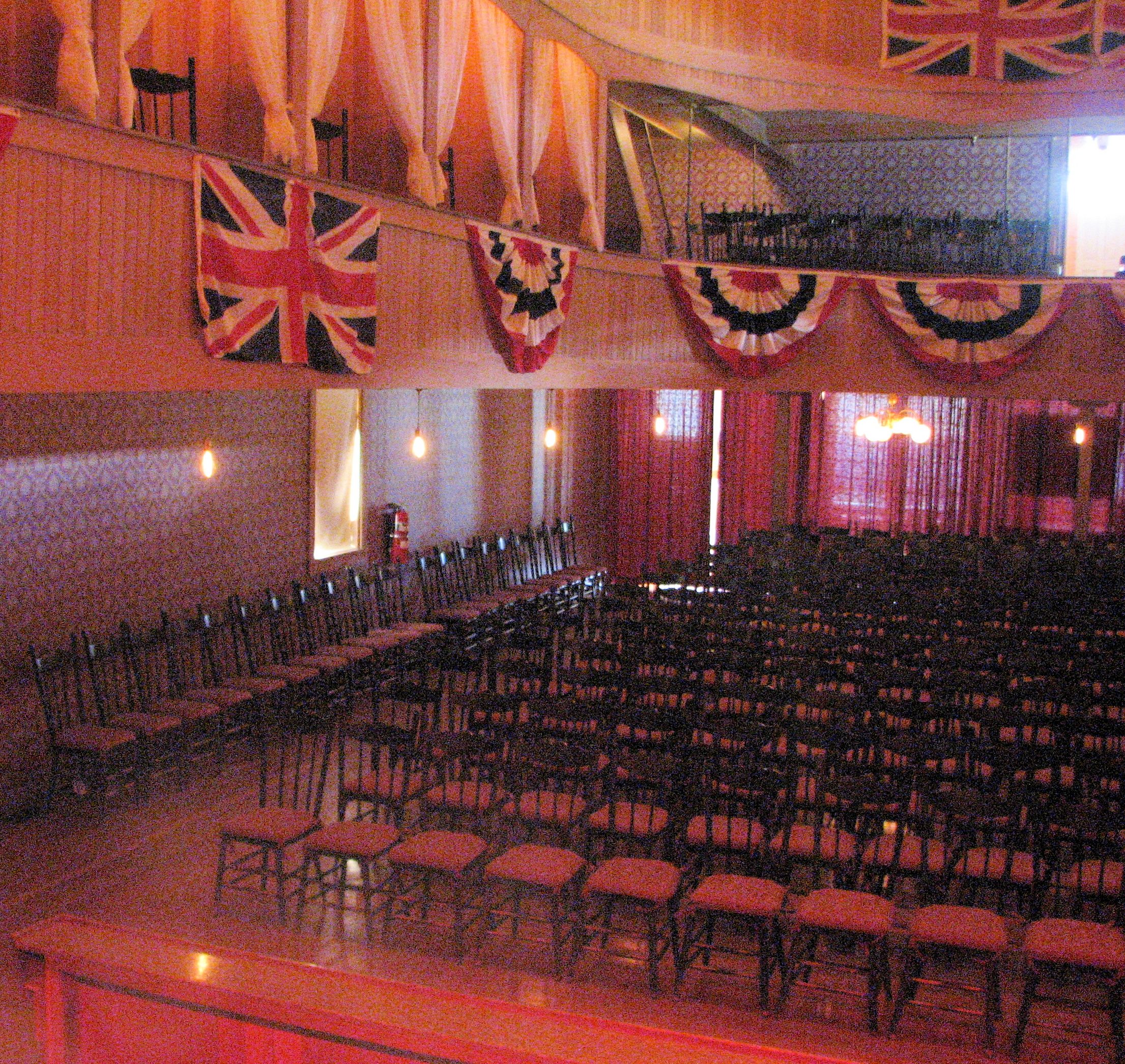
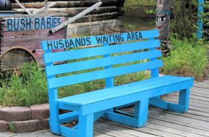
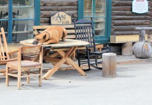
We have been tracking some of the unexpected things along the road. We captured these two shots in Pioneer Park in Fairbanks.
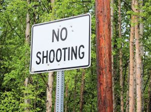
You know you are in the wilderness when people need to be told not the shoot things in a rest stop . . . and, of course, any sign telling people not to shoot will be an instant target.
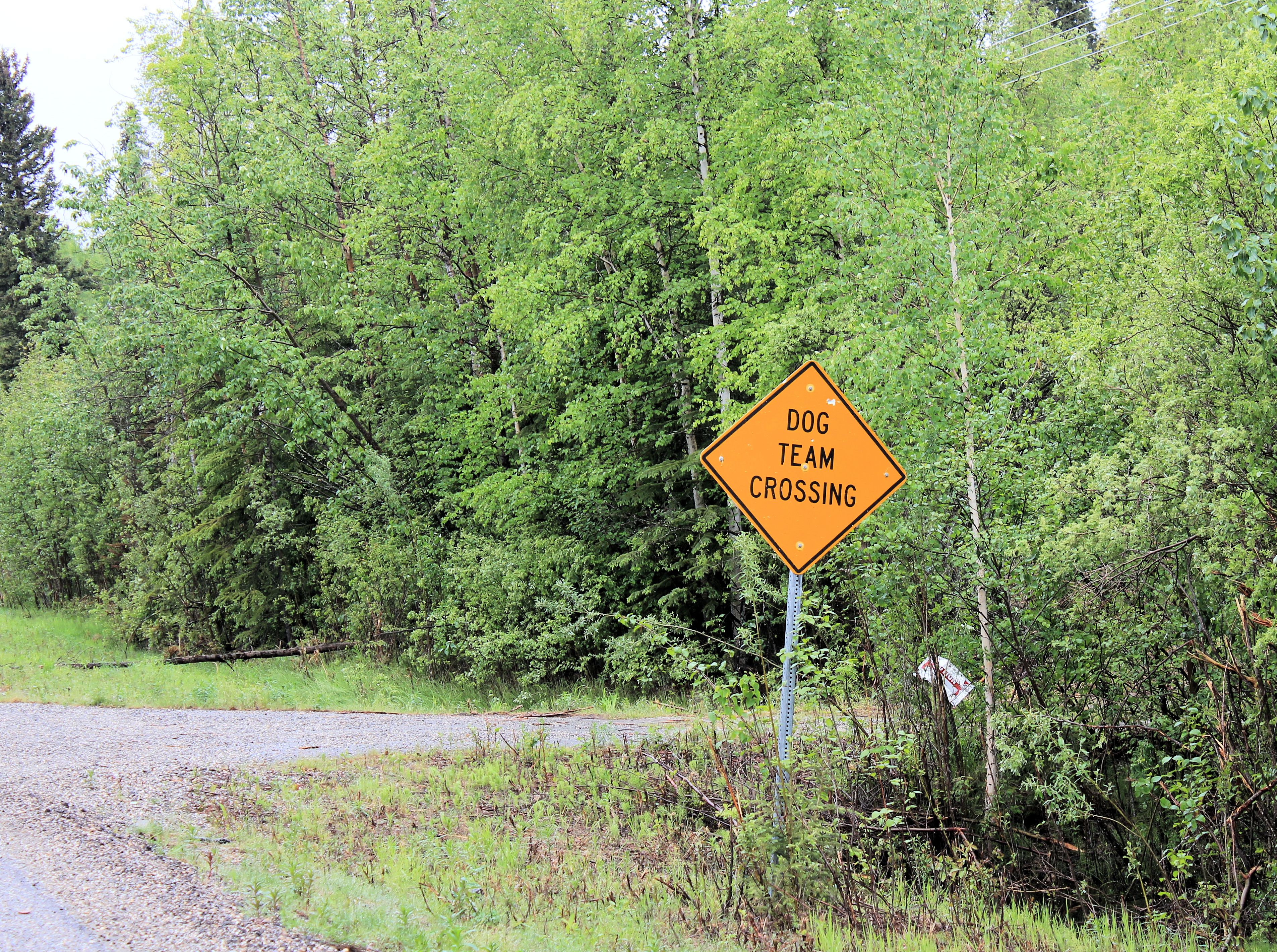
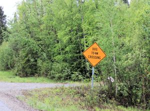
And, finally, you probably will not see a sign like this in your neck of the woods.
Next on our itinerary is the Richardson and Denali Highways.